The Role of Satellites in Counterterrorism Efforts
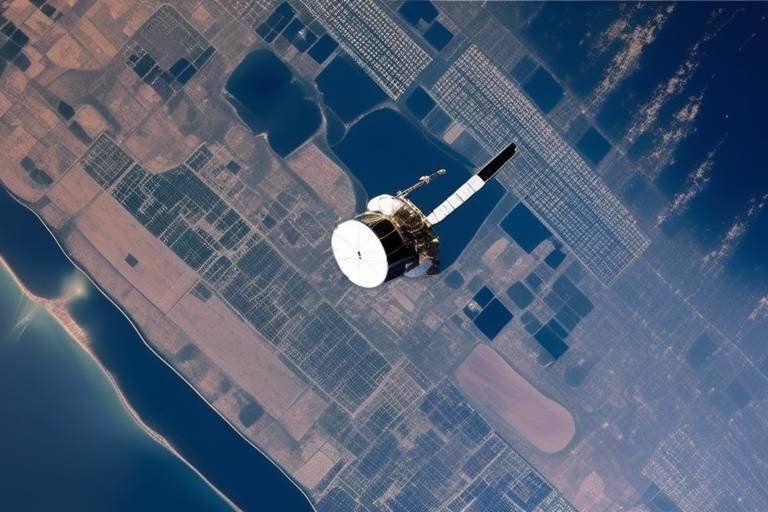
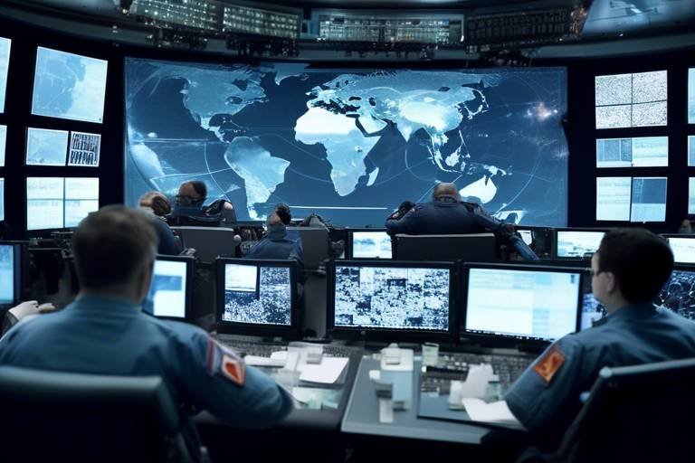
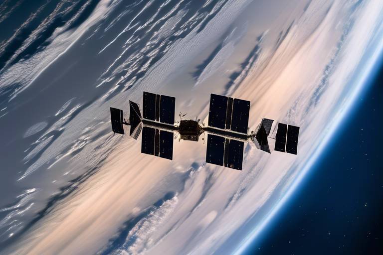
In today's complex world, where threats can emerge from any corner of the globe, the importance of satellite technology in counterterrorism efforts cannot be overstated. These high-tech marvels orbiting our planet are more than just tools for navigation or weather forecasting; they are essential components in the fight against terrorism. By providing vital intelligence, surveillance, and communication capabilities, satellites significantly enhance national security and response strategies. Imagine being able to see the world from above, pinpointing suspicious activities and gathering crucial information in real-time. This is the power of satellites, and it is reshaping how we approach security challenges.
One of the primary roles of satellites in counterterrorism is their ability to collect real-time intelligence. This capability allows intelligence agencies to monitor suspicious activities across vast geographical areas, effectively transforming the way we gather information. For instance, a satellite might detect unusual movements in a remote area, prompting further investigation and potentially preventing a terrorist attack before it even occurs. The sheer volume of data collected by satellites can be overwhelming, but with the right analysis, it can provide insights that are vital for national security. Agencies can now act swiftly, utilizing satellite data to track patterns and predict potential threats before they escalate.
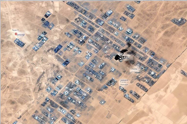
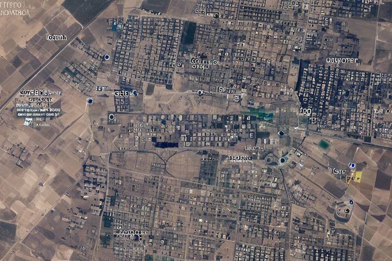
Advanced satellite imaging technology has revolutionized surveillance, offering authorities the ability to conduct detailed monitoring of specific regions. This capability is invaluable in identifying potential threats and tracking movements that may indicate terrorist activities. Imagine being able to zoom in on a location from thousands of miles away, capturing high-resolution images that reveal critical details. Such technology not only enhances situational awareness but also allows for timely intervention. The following subsections delve deeper into the various imaging technologies that satellites employ:
High-resolution satellite imagery is a game-changer in surveillance efforts. With the ability to capture images with remarkable clarity, authorities can identify individuals and vehicles associated with terrorist activities. This level of detail is crucial for making informed decisions quickly. For example, if a suspicious vehicle is spotted in a high-risk area, authorities can mobilize resources to investigate further, potentially thwarting a planned attack. The precision of these images can make all the difference in operational success.
Not all threats occur during the day, which is where infrared capabilities come into play. Satellites equipped with infrared technology can detect heat signatures and movements during nighttime operations, making it possible to monitor activities that would otherwise go unnoticed. This capability is particularly useful for tracking individuals or groups attempting to remain hidden in darkness. By leveraging infrared data, counterterrorism units can gain a significant advantage, planning their strategies with a comprehensive understanding of the environment.
Another innovative approach is multispectral imaging, which allows for the analysis of various wavelengths of light. This technology provides deeper insights into environmental changes and can help identify potential terrorist hideouts. For instance, changes in vegetation or land use can indicate human activity in previously untouched areas. By understanding these subtle shifts, authorities can better plan their counterterrorism strategies, ensuring they are always one step ahead of potential threats.
The integration of artificial intelligence (AI) and machine learning with satellite data analysis has significantly improved the ability to predict and respond to terrorist activities. With vast amounts of data being collected, AI algorithms can sift through this information to identify trends and anomalies that human analysts might miss. This enhanced processing capability means that intelligence agencies can react more swiftly and effectively, adapting their strategies based on real-time insights.
In addition to intelligence and surveillance, satellites play a crucial role in facilitating secure communication networks among intelligence agencies. This is essential for ensuring timely information sharing and coordination during counterterrorism operations. Imagine a scenario where agencies are working together to intercept a potential threat; the ability to communicate in real-time can make all the difference between success and failure.
Real-time communication capabilities allow for immediate updates and strategic adjustments during operations. This enhances situational awareness and responsiveness to evolving threats. For example, if a new piece of intelligence comes in during an operation, the ability to communicate this information instantly can lead to a change in tactics that could prevent a disaster.
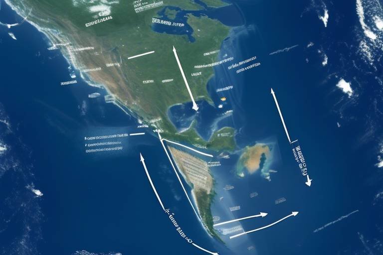
The global coverage provided by satellites ensures that even the most remote or conflict-prone areas are monitored. This capability allows for comprehensive counterterrorism strategies that transcend geographical limitations. With satellites in orbit, no corner of the globe is beyond the watchful eye of intelligence agencies, enabling them to track potential threats wherever they may arise.
- How do satellites collect intelligence? Satellites collect intelligence through various imaging technologies, including high-resolution, infrared, and multispectral imaging, which allow for detailed monitoring and analysis of specific regions.
- What is the importance of real-time communication in counterterrorism? Real-time communication is vital for ensuring that intelligence agencies can share information quickly and coordinate their efforts effectively during operations.
- Can satellites operate at night? Yes, satellites equipped with infrared technology can monitor activities during nighttime, detecting heat signatures and movements that would otherwise be invisible.
Intelligence Gathering
In today's world, where the threat of terrorism looms large, the role of satellites in intelligence gathering cannot be overstated. These technological marvels orbiting our planet are not just tools for communication or navigation; they are pivotal in the fight against terrorism. With the ability to collect real-time data, satellites empower intelligence agencies to monitor suspicious activities and gather critical information that can lead to the prevention of potential terrorist actions.
Imagine a vast network of eyes in the sky, constantly scanning the earth below. This is what satellites provide—an unparalleled vantage point that allows for the observation of large areas with incredible detail. By utilizing satellite technology, agencies can detect unusual patterns of movement or activity that might indicate planning or execution of terrorist acts. For instance, if a group of individuals is seen congregating in a remote area, it could raise red flags and prompt further investigation.
Furthermore, the data collected from satellites can be analyzed to identify trends and predict future activities. This predictive capability is crucial; it’s like having a crystal ball that helps agencies stay one step ahead of potential threats. The information gathered can be used to create detailed reports, which can then inform decision-making processes at the highest levels of government. In this way, satellite technology acts as a force multiplier, significantly enhancing the effectiveness of counterterrorism operations.
To illustrate the impact of satellite intelligence gathering, consider the following table:
| Aspect | Impact of Satellite Intelligence |
|---|---|
| Real-Time Monitoring | Allows for immediate response to suspicious activities. |
| Data Analysis | Identifies trends and predicts potential threats. |
| Strategic Planning | Informs decision-making and resource allocation. |
| Collaboration | Enhances coordination among intelligence agencies. |
In summary, the integration of satellite technology into intelligence gathering has revolutionized the way we approach national security. By providing timely and accurate data, satellites enable agencies to act swiftly and decisively, ensuring that potential threats are neutralized before they can escalate. As technology continues to advance, the capabilities of satellites will only improve, further enhancing our ability to combat terrorism effectively.
- How do satellites gather intelligence? Satellites use various sensors and imaging technologies to collect data about activities on the ground, which is then analyzed by intelligence agencies.
- What types of data can satellites provide? Satellites can provide high-resolution images, infrared data, and multispectral analysis, among other types of information.
- Are there any limitations to satellite intelligence? Yes, satellites can be limited by weather conditions, and their effectiveness can be hindered in densely populated urban areas where buildings obstruct views.
Surveillance Capabilities
When it comes to counterterrorism, the role of satellites in surveillance cannot be overstated. These high-tech marvels orbiting our planet provide an unprecedented capability to observe and monitor areas that may pose a threat to national security. Imagine having a bird's-eye view of the world, where you can spot suspicious activities from miles above. This is exactly what advanced satellite technology offers. With the ability to collect real-time data, satellites empower intelligence agencies to act swiftly and decisively against potential terrorist threats.
One of the most significant advantages of satellite surveillance is the high-resolution imaging technology that has come a long way in recent years. This technology enables authorities to capture crystal-clear images of specific locations, which can reveal critical details about individuals and vehicles associated with terrorist activities. For instance, if a suspicious vehicle is spotted in a known hotspot, high-resolution imagery can help analysts determine the make, model, and even the license plate number of the vehicle, allowing for timely intervention. Such clarity in surveillance is vital for preventing potential attacks before they occur.
Another fascinating aspect of satellite surveillance is the use of infrared and night vision capabilities. Traditional surveillance methods often falter in low-light conditions, but satellites equipped with infrared technology can detect heat signatures, making it possible to monitor movements even in complete darkness. Think of it as having a superpower that allows you to see in the dark. This capability is crucial for nighttime operations, where many terrorist activities may take place under the cover of darkness. By identifying heat sources, authorities can track suspicious individuals or vehicles that would otherwise remain hidden.
Moreover, the advent of multispectral imaging has revolutionized the way we analyze environments for potential threats. This technology enables the capture of images across various wavelengths, providing deeper insights into changes in landscapes that might indicate terrorist hideouts or activity. For example, if a particular area shows unusual vegetation growth or disturbances, it could signal the presence of underground facilities or camps. By leveraging multispectral data, intelligence agencies can better plan their counterterrorism strategies, ensuring they are always one step ahead of potential threats.
In summary, the surveillance capabilities offered by satellites are not just about watching from above; they are about enhancing national security through precise, real-time intelligence. As technology continues to advance, the effectiveness of these surveillance tools will only improve, providing even more robust support for counterterrorism efforts. The combination of high-resolution imaging, infrared detection, and multispectral analysis creates a comprehensive surveillance system that can adapt to various situations, ensuring that authorities can respond to threats with agility and precision.
- How do satellites collect surveillance data? Satellites use advanced imaging technologies, including high-resolution cameras and infrared sensors, to capture detailed images and data from the Earth's surface.
- Can satellites operate in all weather conditions? While satellites can gather data in various weather conditions, heavy cloud cover or storms may limit visibility for optical imaging systems.
- How quickly can intelligence agencies respond to threats detected by satellites? The speed of response varies depending on the situation, but real-time communication and data analysis capabilities allow for rapid decision-making and action.
High-Resolution Imaging
High-resolution satellite imaging is a game-changer in the realm of counterterrorism. Imagine being able to zoom in on a specific location from hundreds of miles above the Earth, capturing details that can make or break an operation. This technology allows intelligence agencies to identify not just general movements, but specific individuals and vehicles linked to potential terrorist activities. It's like having a magnifying glass that reveals hidden truths from the vast expanse of the sky.
With the ability to capture images with incredible clarity, high-resolution imaging provides a wealth of information that can be analyzed to discern patterns and behaviors. For instance, if a suspicious vehicle is observed repeatedly in a particular area, analysts can track its movements over time, piecing together a profile of its activities. This kind of intelligence is crucial for timely interventions, as it enables authorities to act before a threat materializes.
Moreover, the integration of high-resolution imaging with other forms of data can enhance situational awareness. For example, when combined with ground intelligence or drone footage, the clarity of satellite images can corroborate findings and provide a more comprehensive view of the situation at hand. This synergy between different data sources is essential in developing effective counterterrorism strategies.
To illustrate the impact of high-resolution imaging, consider the following table which outlines some key benefits:
| Benefit | Description |
|---|---|
| Detailed Monitoring | Allows for tracking of specific individuals and vehicles associated with suspicious activities. |
| Pattern Recognition | Facilitates the identification of trends and behaviors that may indicate terrorist planning or activity. |
| Enhanced Decision Making | Provides critical information that can inform strategic decisions and operational planning. |
In conclusion, high-resolution imaging is not just a technological advancement; it’s a vital tool in the fight against terrorism. By providing clear, actionable intelligence, it empowers agencies to take decisive actions that can prevent attacks and save lives. As we continue to develop and refine these technologies, the potential for improving national security becomes even more promising.
- What is high-resolution imaging? High-resolution imaging refers to satellite technology that captures detailed images of the Earth's surface, allowing for close examination of specific areas.
- How does high-resolution imaging help in counterterrorism? It enables intelligence agencies to monitor suspicious activities, identify individuals and vehicles, and gather critical data for timely interventions.
- Can high-resolution images be used in real-time? Yes, high-resolution images can be processed and analyzed quickly to provide real-time intelligence during counterterrorism operations.
Infrared and Night Vision
When it comes to counterterrorism, the ability to operate effectively under the cover of darkness can make all the difference. This is where infrared and night vision technologies come into play, transforming how intelligence agencies conduct surveillance and gather crucial information. Imagine being able to see in complete darkness, detecting movements and heat signatures that would otherwise remain hidden. This capability is not just a luxury; it's a necessity in the ever-evolving landscape of security challenges.
Infrared technology works by detecting heat emitted from objects, which is particularly useful for identifying individuals and vehicles that may be involved in suspicious activities. For instance, during nighttime operations, a team equipped with infrared cameras can spot a person moving in a remote area, even if they are trying to remain concealed. This level of visibility can provide a significant advantage, allowing authorities to intervene before a situation escalates.
Moreover, the integration of night vision capabilities enhances this surveillance further. Night vision devices amplify available light, enabling operators to see in low-light conditions. This is akin to having a superpower; it allows for the monitoring of areas that would typically be inaccessible after sunset. The combination of these technologies means that counterterrorism units can maintain a continuous watch over potential hotspots, ensuring that no suspicious activity goes undetected.
To illustrate the impact of infrared and night vision technologies in counterterrorism, consider the following table:
| Technology | Functionality | Advantages |
|---|---|---|
| Infrared | Detects heat signatures | Identifies concealed individuals/vehicles |
| Night Vision | Amplifies available light | Enables visibility in low-light conditions |
These technologies not only enhance the effectiveness of surveillance but also improve the safety of personnel involved in counterterrorism operations. By relying on infrared and night vision, teams can operate with greater confidence, knowing that they have the tools necessary to detect and respond to threats, regardless of the time of day. This capability is vital in a world where terrorist activities can occur at any hour, and the element of surprise can often be the deciding factor between success and failure.
Multispectral Imaging
When it comes to counterterrorism, is a game-changer. This advanced technology captures data across multiple wavelengths of light, beyond what the human eye can see. Imagine being able to look at a landscape not just in visible light, but also in infrared and ultraviolet spectrums. This capability allows intelligence agencies to gather a wealth of information about the environment, providing insights that are critical for identifying potential terrorist hideouts or clandestine operations.
Multispectral imaging works by analyzing the different ways materials reflect light. For instance, vegetation, soil, and man-made structures all have unique spectral signatures. By comparing these signatures, analysts can detect anomalies that might indicate suspicious activity. For example, if a normally barren area suddenly shows signs of vegetation growth, it could suggest that something unusual is happening beneath the surface, such as the construction of an underground facility.
This technology is particularly useful in remote or difficult-to-access areas, where traditional surveillance methods may fall short. In many cases, terrorists operate in rugged terrains or urban environments that make it hard for ground forces to monitor their activities. Here, multispectral imaging shines, allowing agencies to maintain a watchful eye from above, identifying changes in the landscape that could signify a threat.
Furthermore, the integration of multispectral imaging with artificial intelligence (AI) enhances its effectiveness. AI algorithms can process vast amounts of data quickly, identifying patterns and anomalies that human analysts might miss. This combination of technology not only speeds up the data analysis process but also improves the accuracy of threat detection. As a result, counterterrorism operations can be more proactive, addressing potential threats before they escalate into serious incidents.
In summary, multispectral imaging is an invaluable tool in the arsenal of counterterrorism strategies. By providing deeper insights into environmental changes and potential hiding spots for terrorist activities, it empowers agencies to make informed decisions and take timely actions. As technology continues to evolve, the role of multispectral imaging in enhancing national security will undoubtedly become even more significant.
- What is multispectral imaging? Multispectral imaging is a technology that captures data across various wavelengths of light, allowing for detailed analysis of materials and environments.
- How does multispectral imaging help in counterterrorism? It helps by detecting anomalies in landscapes, identifying potential terrorist hideouts, and enhancing data analysis through AI integration.
- Can multispectral imaging be used in urban areas? Yes, it is particularly effective in urban environments where traditional surveillance methods may struggle.
- What is the future of multispectral imaging in counterterrorism? As technology advances, its applications in counterterrorism will expand, providing even more sophisticated tools for threat detection and analysis.
Data Analysis and Processing
In the realm of counterterrorism, have become the backbone of effective operations. With the vast amount of information collected by satellites, the challenge is not just in gathering data but in making sense of it. This is where the integration of Artificial Intelligence (AI) and machine learning comes into play. These technologies enable analysts to sift through enormous datasets, identifying patterns and anomalies that could indicate potential terrorist activities.
Imagine trying to find a needle in a haystack. Now, think about how much easier that task becomes when you have a magnet. AI acts like that magnet, helping analysts focus on the most relevant data points. For instance, when a satellite captures images of a region, AI algorithms can quickly analyze these images, flagging unusual movements or gatherings that might warrant further investigation. This ability to process data in real-time not only speeds up response times but also significantly enhances the accuracy of intelligence.
Moreover, the combination of satellite data with other intelligence sources, such as social media activity and communication intercepts, creates a more comprehensive picture of the threat landscape. This multi-faceted approach allows counterterrorism agencies to develop strategies that are not just reactive but also proactive. By predicting potential threats, authorities can deploy resources more effectively, preventing incidents before they escalate.
To illustrate the impact of data analysis in counterterrorism, consider the following table that highlights key technologies and their roles:
| Technology | Role in Counterterrorism |
|---|---|
| AI Algorithms | Analyze satellite images for unusual patterns |
| Machine Learning | Predict potential terrorist activities based on historical data |
| Data Fusion | Integrate satellite data with other intelligence sources |
| Geospatial Analysis | Identify hotspots and trends in terrorist activities |
As we move forward, the importance of in counterterrorism will only continue to grow. The ability to harness technology for better intelligence means that nations can not only react to threats but also anticipate them. This shift from a reactive to a proactive stance is crucial in ensuring national security in an ever-evolving landscape of terrorism.
- How do satellites contribute to counterterrorism?
Satellites provide real-time intelligence, surveillance, and secure communication, which are crucial for effective counterterrorism operations. - What role does AI play in data analysis?
AI helps in processing vast amounts of satellite data quickly, identifying patterns and potential threats that would be difficult for humans to detect alone. - Can satellites monitor remote areas?
Yes, satellites have global coverage, allowing for monitoring of even the most isolated regions, which is essential for comprehensive counterterrorism strategies.
Communication Networks
In the ever-evolving landscape of counterterrorism, powered by satellite technology have become a lifeline for intelligence agencies around the globe. Imagine being in a high-stakes game of chess, where every move counts, and the ability to communicate instantly can mean the difference between success and failure. That's the essence of satellite communication in counterterrorism operations. These networks offer secure channels that enable agencies to share vital information in real-time, ensuring that every piece of intelligence is utilized effectively.
One of the most significant advantages of satellite communication is its robustness. Unlike traditional communication methods that can be disrupted by natural disasters or enemy interference, satellite systems provide a level of reliability that is crucial during critical operations. This reliability is not just about maintaining contact; it's about ensuring that intelligence officers can coordinate seamlessly, even in the most remote or hostile environments. When a potential threat is detected, the ability to relay information instantly can lead to rapid response actions that thwart terrorist activities before they escalate.
Furthermore, the global reach of satellite communication means that no area is beyond the grasp of monitoring efforts. Whether it's a bustling city or a secluded mountain hideout, satellites can provide coverage that is essential for comprehensive counterterrorism strategies. This is particularly important in regions where traditional communication infrastructure may be lacking or compromised. The ability to maintain a constant flow of information across vast distances allows for a more agile response to emerging threats.
To illustrate the impact of satellite communication on counterterrorism, consider the following table that outlines key benefits:
| Benefit | Description |
|---|---|
| Real-Time Updates | Facilitates immediate communication of intelligence and operational changes. |
| Secure Channels | Ensures that sensitive information is protected from interception. |
| Global Coverage | Allows monitoring and communication in even the most remote areas. |
| Coordination | Enables seamless collaboration among various intelligence agencies. |
The importance of real-time communication cannot be overstated. During operations, intelligence officers need to adapt quickly to changing circumstances. For instance, if a suspect's location changes, having the ability to communicate that shift instantly can lead to a more effective response. This agility is akin to a quarterback calling an audible in football—it's about reading the field and making the right call in the moment.
Moreover, the integration of satellite communication with advanced technologies such as AI and data analytics further enhances operational effectiveness. By analyzing communication patterns and intelligence data, agencies can identify potential threats before they materialize. This proactive approach is essential in the fight against terrorism, where every second counts and the stakes are incredibly high.
In conclusion, the role of satellite communication networks in counterterrorism efforts is indispensable. They not only provide the infrastructure necessary for secure and reliable communication but also empower agencies to respond swiftly and effectively to threats. As technology continues to advance, the potential for these networks to evolve and improve will only enhance their critical role in safeguarding national security.
- How do satellites enhance communication in counterterrorism?
Satellites provide secure and reliable communication channels that allow intelligence agencies to share information in real-time, ensuring timely responses to threats. - What are the advantages of satellite communication over traditional methods?
Satellite communication offers global coverage, resilience against disruptions, and the ability to operate in remote areas where traditional infrastructure may be lacking. - Can satellite communication be compromised?
While satellite communication is generally secure, it can still be vulnerable to sophisticated cyber threats, making it essential to implement robust security measures.
Real-Time Communication
In the fast-paced world of counterterrorism, stands as a cornerstone for operational success. Imagine trying to catch a thief in the act without the ability to relay information instantaneously; it would be nearly impossible, right? This analogy holds true for counterterrorism efforts where every second counts. The integration of satellite technology allows intelligence agencies to communicate effortlessly and securely, ensuring that vital information flows seamlessly between teams in the field and command centers. This capability is not just a luxury; it’s an absolute necessity.
One of the most significant advantages of real-time communication is the ability to share intelligence and updates instantly. During a crisis, the situation can change in the blink of an eye. With satellite communication, agents on the ground can provide immediate feedback on evolving threats, enabling quick decision-making. For instance, if a surveillance team spots suspicious activity, they can relay that information back to analysts who can then assess the situation and advise on the next steps. This rapid exchange of information can mean the difference between thwarting a potential attack and facing catastrophic consequences.
Moreover, the reliability of satellite communication systems is crucial in remote or conflict-prone areas where traditional communication networks may be compromised or non-existent. Satellites provide a global reach that ensures even the most isolated operations can maintain contact. This capability allows intelligence agencies to coordinate efforts across borders and share critical data that can enhance the overall effectiveness of counterterrorism strategies. In fact, the ability to communicate in real-time can lead to collaborative operations between countries, pooling resources and intelligence to combat a shared threat.
To illustrate the impact of real-time communication in counterterrorism, consider the following table that outlines key features and benefits:
| Feature | Benefit |
|---|---|
| Instant Messaging | Allows for immediate updates during operations, enhancing situational awareness. |
| Secure Channels | Ensures that sensitive information remains confidential and protected from interception. |
| Global Connectivity | Facilitates communication in remote areas, ensuring no region is left unmonitored. |
| Data Sharing | Enables the quick dissemination of intelligence among various agencies, improving response times. |
In conclusion, real-time communication powered by satellite technology is not just an enhancement; it is a fundamental component of modern counterterrorism efforts. By ensuring that information is shared quickly and securely, agencies can respond to threats more effectively and efficiently. As technology continues to evolve, the importance of maintaining these communication networks will only grow, underscoring the need for continuous investment in satellite capabilities to keep our nations safe.
- How do satellites improve communication during counterterrorism operations? Satellites provide secure and instantaneous communication channels that allow intelligence agencies to share critical information in real-time, enhancing their responsiveness to threats.
- Can satellite communication work in remote areas? Yes, satellite communication is particularly valuable in remote or conflict-prone areas where traditional communication networks may be unavailable or unreliable.
- What role does real-time communication play in decision-making? Real-time communication allows for immediate updates and feedback during operations, which is crucial for making timely and informed decisions in rapidly changing situations.
Global Reach
When we talk about the of satellites, we're diving into a realm where distance and borders become mere technicalities. Imagine a vast web of eyes in the sky, constantly scanning the Earth, ready to relay critical information at a moment's notice. This capability is a game-changer for counterterrorism efforts, allowing agencies to monitor even the most remote or conflict-ridden areas. With satellites orbiting our planet, no corner is left unobserved, and this comprehensive coverage is crucial for anticipating and thwarting potential threats.
Consider this: a terrorist cell planning an operation in a secluded jungle or a mountainous region is not beyond the watchful gaze of satellite technology. These high-tech tools can provide vital data, ensuring that intelligence agencies are always one step ahead. Moreover, the ability to monitor areas that are difficult to access or politically sensitive means that counterterrorism strategies can be more robust and informed.
Furthermore, the global reach of satellites fosters international cooperation. Intelligence sharing among countries can be streamlined through satellite data, allowing for a unified approach in tackling terrorism. This collaboration enhances the effectiveness of operations, as countries can leverage each other's resources and insights. In essence, it's like forming a global team where everyone contributes their unique strengths to combat a common enemy.
To illustrate the impact of global satellite coverage on counterterrorism, let's take a look at the following table:
| Satellite Capability | Impact on Counterterrorism |
|---|---|
| Real-Time Surveillance | Immediate detection of suspicious activities, enabling quick response. |
| Global Coverage | Monitoring remote and hard-to-reach areas, ensuring no threats go unnoticed. |
| Data Sharing | Facilitates international collaboration, enhancing operational effectiveness. |
In conclusion, the global reach of satellites is not just a technological marvel; it's a vital component of modern counterterrorism efforts. By providing comprehensive surveillance, facilitating international collaboration, and ensuring that no area is left unchecked, satellites empower agencies to respond swiftly and effectively to potential threats. As technology continues to evolve, we can only expect these capabilities to expand, further enhancing our ability to maintain national and global security.
- How do satellites gather intelligence? Satellites collect data through advanced imaging technologies, allowing agencies to monitor activities in real-time.
- What role does AI play in satellite data analysis? AI enhances the ability to process vast amounts of data, helping predict potential terrorist activities and improving response strategies.
- Can satellites operate in adverse weather conditions? Yes, many modern satellites are equipped with technology that allows them to function effectively in various weather conditions.
Frequently Asked Questions
- How do satellites gather intelligence for counterterrorism?
Satellites gather intelligence by monitoring specific areas in real-time, using advanced imaging technologies to detect suspicious activities and collect vital data. This information can help agencies prevent potential terrorist actions before they occur.
- What types of imaging technology do satellites use for surveillance?
Satellites utilize various imaging technologies, including high-resolution imaging for detailed visuals, infrared capabilities for nighttime operations, and multispectral imaging to analyze different wavelengths. Each technology plays a crucial role in identifying potential threats and planning interventions.
- How does AI enhance satellite data analysis?
AI enhances satellite data analysis by integrating machine learning algorithms that can process vast amounts of data quickly. This allows for better prediction of terrorist activities and more effective responses, making counterterrorism efforts significantly more efficient.
- What role do satellites play in communication during counterterrorism operations?
Satellites provide secure communication channels that enable intelligence agencies to share information in real-time. This is essential for coordinating strategies and making quick decisions during operations, ensuring that all parties involved are updated and informed.
- Can satellites monitor remote areas effectively?
Yes, satellites have a global reach that allows them to monitor even the most remote or conflict-prone areas. This capability ensures that counterterrorism strategies can be comprehensive and not limited by geographical constraints.

