The Role of Satellites in Protecting National Interests
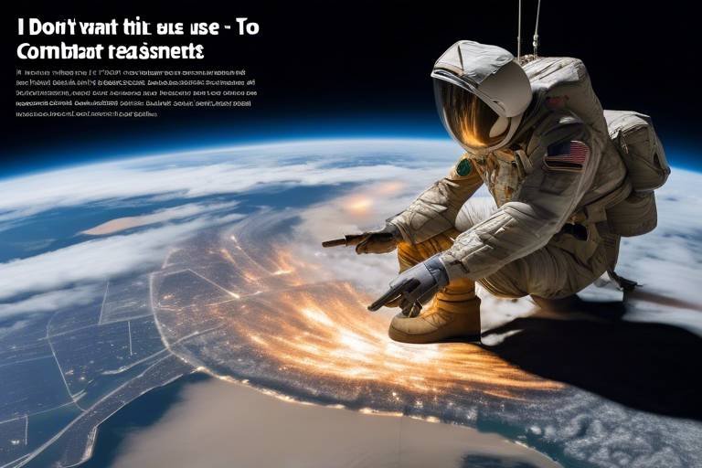
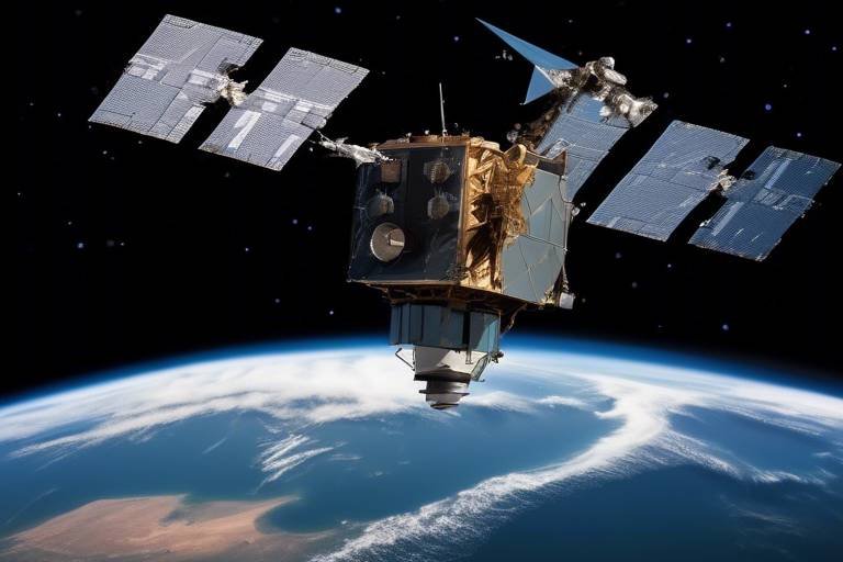
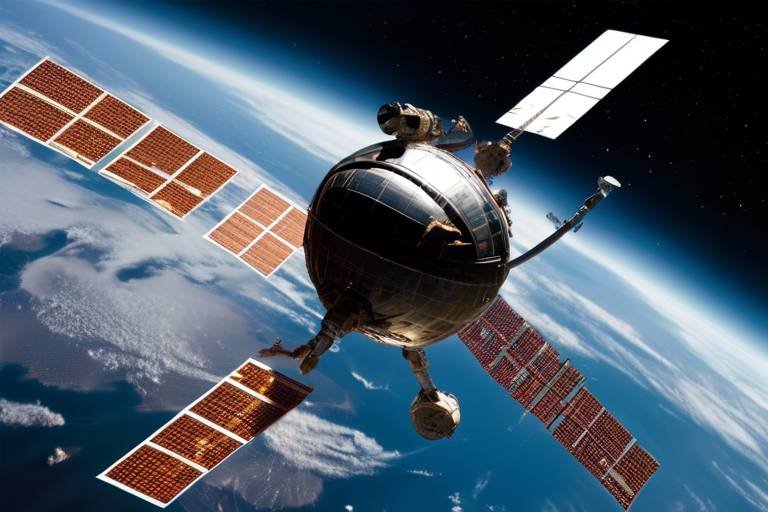
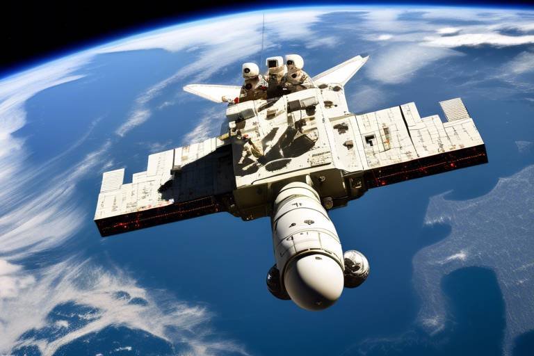
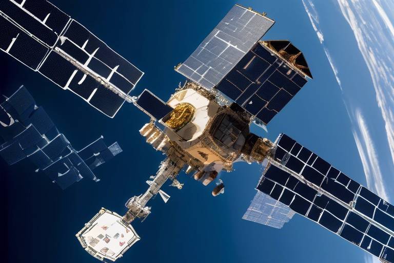
In today's world, where information is power, satellites have become indispensable tools for nations striving to protect their interests. Imagine a vast eye in the sky, constantly observing and gathering data, ensuring that governments are always one step ahead of potential threats. This article dives deep into the multifaceted roles that satellites play in national security, intelligence gathering, disaster management, and environmental monitoring. By the end, you’ll appreciate just how critical these orbiting marvels are to safeguarding a nation’s future.
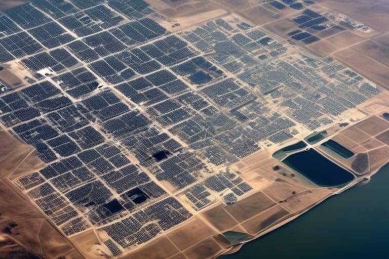
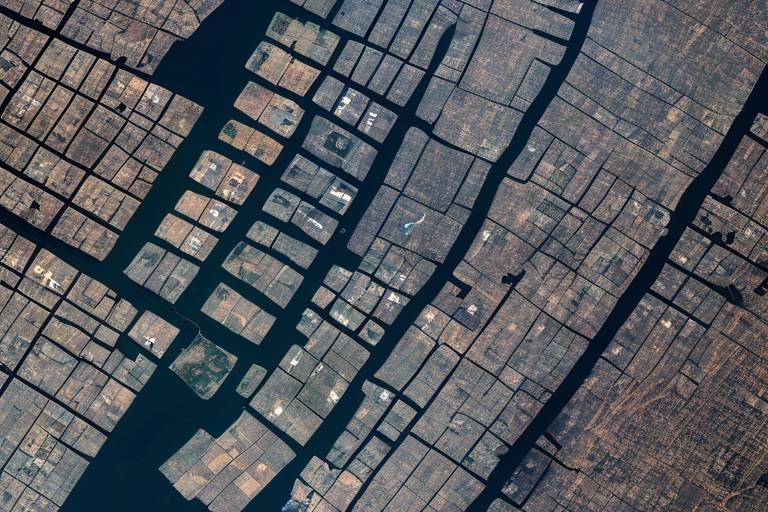
Satellites are at the forefront of national security efforts, providing real-time surveillance and intelligence that are crucial for monitoring potential threats. Think of them as the vigilant sentinels of the sky, constantly scanning for signs of danger. With advanced imaging technology, satellites can capture high-resolution images of sensitive regions, helping governments maintain situational awareness. This capability is particularly vital in areas where ground-based surveillance might be limited or impossible. By utilizing satellite data, nations can detect unusual activities, track troop movements, and respond swiftly to emerging threats, ensuring that they are always prepared.
When it comes to national defense, effective communication is paramount. Satellites facilitate secure communication channels among military and governmental agencies, which is essential during crises. Picture a military operation where every second counts; the ability to communicate seamlessly can mean the difference between success and failure. Satellites ensure that commanders on the ground can relay critical information to decision-makers in real-time, enabling coordinated responses to emergencies. This level of connectivity fosters a unified approach to national security, allowing for a more efficient allocation of resources and personnel.
Military satellites enhance operational capabilities in numerous ways. They provide reconnaissance, targeting information, and battlefield communication, significantly improving the effectiveness of defense strategies. For instance, reconnaissance satellites can capture detailed images of enemy positions, allowing military planners to devise tactical operations with precision. Furthermore, the data collected can be used to create comprehensive maps that aid in understanding the battlefield dynamics. In this sense, satellites serve as the backbone of modern military operations, enabling forces to act decisively and effectively.
One of the most critical functions of satellites is their ability to collect vital intelligence data. This includes imagery and signals that are essential for informed decision-making and strategic planning. Governments rely on satellite intelligence to assess threats, monitor compliance with international treaties, and gather information about adversaries. The wealth of data provided by satellites allows for a more nuanced understanding of global dynamics, empowering leaders to make sound decisions that align with national interests.
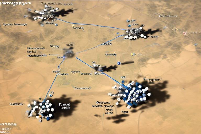
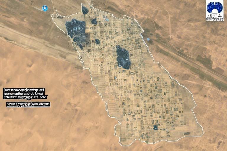
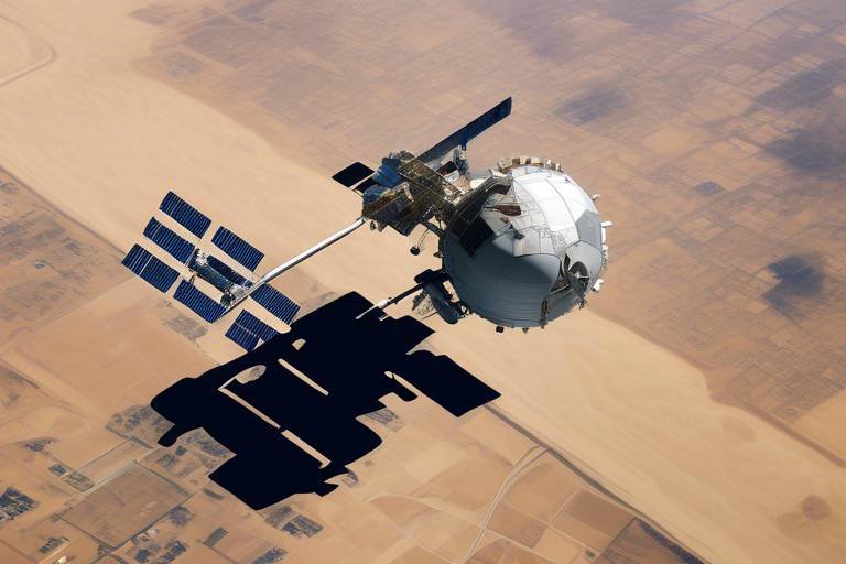
Geospatial data obtained from satellites is invaluable for analyzing terrain, infrastructure, and enemy movements. This information enables military planners to devise effective strategies and optimize resource allocation. For example, understanding the geography of a region can inform decisions about troop placements, logistics, and supply routes. In essence, satellites transform vast amounts of data into actionable insights, allowing nations to maintain a strategic advantage over their adversaries.
Satellites also play a crucial role in disaster management. They provide critical data for early warning systems, damage assessment, and coordination of relief efforts following natural disasters. Imagine a hurricane approaching a coastline; satellites can track its path, helping authorities issue timely warnings to evacuate residents and prepare emergency services. After the storm passes, satellite imagery can assess the extent of the damage, guiding relief efforts to where they are most needed. This capability not only saves lives but also facilitates a quicker recovery process for affected communities.
Beyond national security, satellites are essential for monitoring environmental changes, tracking climate patterns, and assessing natural resources. This data supports national interests in sustainability and environmental protection. With climate change posing a significant threat globally, satellites help nations understand its impacts and develop strategies to mitigate its effects. For instance, satellite data can show changes in land use, deforestation rates, and water resource availability, enabling policymakers to make informed decisions that promote sustainable development.
Effective management of natural resources is enhanced through satellite data. Nations can monitor agricultural outputs, water resources, and mineral deposits, which are crucial for informed policymaking. For example, farmers can use satellite imagery to assess crop health, allowing them to optimize yields and reduce waste. Similarly, governments can track water levels in reservoirs and rivers, ensuring that they manage resources efficiently during droughts or floods. In this way, satellites contribute to the sustainable management of resources, which is vital for long-term national stability.
Satellites provide essential data for understanding the impacts of climate change. They support national strategies to mitigate its effects and adapt to changing environmental conditions. By monitoring greenhouse gas emissions, tracking ice melt in polar regions, and observing changes in weather patterns, satellites equip nations with the knowledge needed to address climate challenges. This proactive approach not only safeguards the environment but also protects national interests in a rapidly changing world.
- How do satellites contribute to national security?
Satellites provide real-time surveillance, intelligence gathering, and secure communication channels, enabling governments to monitor threats and respond effectively. - What role do satellites play in disaster management?
They offer critical data for early warning systems, damage assessments, and coordination of relief efforts, helping to save lives and accelerate recovery. - Can satellites help with environmental monitoring?
Yes, satellites track environmental changes, assess natural resources, and provide data essential for sustainability and climate change mitigation efforts.
National Security and Surveillance
Satellites play a crucial role in the realm of national security, acting as the eyes in the sky that provide real-time surveillance and intelligence. Imagine a vast, invisible web of information that helps governments monitor potential threats and maintain situational awareness in sensitive regions across the globe. This capability is not just about spotting enemy movements; it encompasses a broader spectrum of national interests, including border security, counter-terrorism, and even monitoring natural disasters that could affect national stability.
One of the most significant advantages of satellite surveillance is its ability to operate in real-time. Unlike traditional reconnaissance methods, which may rely on ground reports or human intelligence, satellites can continuously monitor areas of interest, providing up-to-the-minute data that is essential for informed decision-making. This capability is particularly vital in regions where tensions run high, allowing military and governmental agencies to act swiftly in response to emerging threats.
Furthermore, satellites enhance the ability to gather intelligence data that is critical for national defense strategies. They collect various forms of information, including high-resolution imagery and signals intelligence (SIGINT). This data can be used to assess troop movements, identify potential launch sites for missiles, and even monitor communications among adversaries. The intelligence gathered through satellite technology can be the difference between a successful operation and a catastrophic failure.
To illustrate the importance of satellite surveillance, consider the following table that highlights how different types of satellites contribute to national security:
| Type of Satellite | Function | Example Use |
|---|---|---|
| Reconnaissance Satellites | High-resolution imaging | Monitoring military installations |
| Communication Satellites | Secure communications | Coordination during military operations |
| Weather Satellites | Climate monitoring | Assessing natural disaster impacts |
In addition to their surveillance capabilities, satellites also facilitate effective communication among military and governmental agencies. During crises, clear and secure communication channels are vital. Satellites ensure that information flows seamlessly, allowing for coordinated responses that can save lives and protect national interests. Without this technology, the fog of war would be even thicker, making it difficult to execute operations efficiently.
In summary, satellites are indispensable tools in the arsenal of national security. They provide a comprehensive view of the battlefield and beyond, enabling governments to not only detect and deter threats but also to respond proactively to crises. With the rapid advancements in satellite technology, the future of national security looks increasingly reliant on these orbiting sentinels, ensuring that nations can safeguard their interests in an ever-changing global landscape.
Communication and Coordination
In today's fast-paced world, effective communication is not just a luxury; it's a necessity, especially when it comes to national defense. Satellites play a pivotal role in ensuring that governments and military agencies can communicate securely and efficiently. Imagine trying to coordinate a complex operation without the ability to share real-time information. It would be akin to navigating a ship without a compass! Satellites provide that compass, enabling seamless communication channels that are crucial during crises and military operations.
One of the most significant advantages of satellite communication is its ability to transmit data across vast distances without the risk of interception. This is vital for national security, as it allows sensitive information to be shared securely among military and governmental agencies. For instance, during a military operation, commanders need to relay information about troop movements, enemy positions, and logistical needs. Satellites ensure that this information is transmitted in real-time, allowing for quick decision-making and effective coordination.
Moreover, the reliability of satellite communication systems means that even in the face of natural disasters or enemy attacks that may disrupt ground-based communication networks, satellite links can remain operational. This resilience is crucial for maintaining command and control in volatile situations. For example, during the aftermath of a hurricane, when traditional communication infrastructure may be compromised, satellites can provide the necessary communication links to coordinate disaster response efforts.
In addition, satellite technology has evolved to include advanced features such as secure communication protocols and encrypted data transmission. This means that even if someone tries to eavesdrop on the communication, they will only hear static. This level of security is paramount when discussing sensitive military strategies or national security matters.
To illustrate the importance of satellite communication in military operations, consider the following table that outlines the key benefits of satellite communication systems:
| Benefit | Description |
|---|---|
| Real-Time Data Transmission | Allows for immediate sharing of critical information among military units. |
| Global Coverage | Provides communication capabilities in remote and inaccessible areas. |
| Enhanced Security | Utilizes encryption to protect sensitive information from unauthorized access. |
| Resilience | Remains operational during natural disasters or attacks on ground infrastructure. |
In conclusion, the role of satellites in communication and coordination cannot be overstated. They are the backbone of modern defense strategies, ensuring that vital information flows seamlessly, securely, and efficiently. As technology continues to advance, we can expect these systems to become even more integral to national security efforts, providing the necessary tools for effective crisis management and operational success.
- How do satellites improve military communication?
Satellites provide real-time data transmission, global coverage, and enhanced security, ensuring that military operations can be coordinated effectively. - What happens to communication during a natural disaster?
Satellite communication systems can remain operational even when ground-based networks are compromised, allowing for continued coordination during emergencies. - Are satellite communications secure?
Yes, satellite communications often use encryption and secure protocols to protect sensitive information from unauthorized access.
Military Applications
When it comes to national defense, the role of satellites is nothing short of transformational. These high-tech marvels orbiting our planet enhance military capabilities in ways that were once the stuff of science fiction. Imagine a world where soldiers can receive real-time updates about enemy movements or where commanders can strategize based on live battlefield data. This is the reality that military satellites create, and it’s a game-changer for defense operations.
One of the primary applications of military satellites is reconnaissance. These satellites are equipped with advanced imaging technology that allows them to capture high-resolution images of terrain and enemy positions. This capability is crucial for planning operations and ensuring that troops are deployed effectively. For instance, a reconnaissance satellite can identify potential ambush sites or troop concentrations, providing commanders with the information they need to make informed decisions.
In addition to reconnaissance, satellites also provide targeting information. This means that when a military operation is underway, satellites can help pinpoint the exact location of targets, whether they are enemy installations or critical infrastructure. The precision of this targeting can significantly reduce collateral damage and increase the likelihood of mission success. Imagine a sniper with a clear line of sight, but instead of being on the ground, they are thousands of miles away, using satellite data to make their shot. That’s the power of modern military applications.
Furthermore, satellites play a vital role in battlefield communication. In the chaos of war, communication can be the difference between victory and defeat. Military satellites create secure communication channels that allow troops to coordinate their movements, share intelligence, and request support. This is especially important in remote areas where traditional communication methods may fail. The ability to communicate instantly and securely can turn the tide of battle, making satellites an essential component of military strategy.
The integration of satellite technology into military operations also leads to enhanced data fusion. This involves combining information from various sources—such as ground troops, drones, and satellites—to create a comprehensive picture of the battlefield. The result is a more agile and responsive military force that can adapt to changing conditions and make quicker decisions.
In summary, military applications of satellites are a cornerstone of modern defense strategies. They provide critical capabilities that enhance reconnaissance, targeting, and communication, ultimately leading to more effective operations. As technology continues to evolve, we can only expect these applications to become even more sophisticated, further solidifying the importance of satellites in safeguarding national interests.
- How do military satellites gather intelligence? Military satellites use advanced imaging technology and sensors to capture high-resolution images and signals from the ground.
- What is the importance of secure communication in military operations? Secure communication ensures that sensitive information is protected from adversaries and allows for effective coordination during missions.
- Can satellites assist during natural disasters? Yes, military satellites play a crucial role in disaster management by providing data for early warning systems and coordinating relief efforts.
Intelligence Gathering
When it comes to national security, is the backbone of informed decision-making. Satellites serve as the eyes in the sky, collecting a wealth of data that is crucial for understanding both domestic and international landscapes. Imagine trying to navigate through a dense fog without a compass or map; that's what military and governmental agencies face without the insights provided by satellite technology. These high-tech marvels capture everything from imagery to signals, transforming raw data into actionable intelligence.
One of the most significant aspects of satellite intelligence gathering is its ability to provide real-time data. In a world where seconds can make the difference between peace and conflict, having immediate access to information can be a game-changer. For instance, satellites can monitor troop movements, track missile launches, and even assess natural disasters, all in real-time. This capability allows nations to respond swiftly to emerging threats, ensuring that they stay one step ahead of potential adversaries.
Moreover, the data collected through satellites can be categorized into various types, each serving a unique purpose in intelligence operations. Below is a table summarizing some of the key types of intelligence gathered by satellites:
| Type of Intelligence | Description |
|---|---|
| Imagery Intelligence (IMINT) | Visual information captured through satellite photography. |
| Signals Intelligence (SIGINT) | Interception of electronic signals for communication and radar. |
| Measurement and Signature Intelligence (MASINT) | Data from various sensors to detect and analyze physical phenomena. |
| Geospatial Intelligence (GEOINT) | Information about physical features and activities on the Earth. |
In addition to collecting data, satellites also play a critical role in analyzing that information. Advanced algorithms and machine learning techniques are employed to process the vast amounts of data collected. This analysis helps in identifying patterns, predicting potential threats, and providing strategic insights that are vital for national security. Think of it as piecing together a complex puzzle; each piece of data contributes to a bigger picture that informs military and governmental strategies.
Furthermore, the collaborative aspect of intelligence gathering cannot be overlooked. Nations often share satellite data with allies, creating a network of information that enhances collective security. This cooperation can lead to joint operations, coordinated responses, and a more robust defense posture. In today’s interconnected world, where threats can emerge from anywhere, collaboration through shared intelligence is more important than ever.
In conclusion, the role of satellites in intelligence gathering is not just about collecting data; it’s about transforming that data into knowledge that safeguards national interests. As technology continues to evolve, the capabilities of satellites will only expand, making them an indispensable tool in the modern landscape of national security.
- How do satellites collect intelligence? Satellites use advanced sensors and imaging technology to capture data, which is then transmitted back to Earth for analysis.
- What types of intelligence can satellites gather? Satellites can gather various types of intelligence, including imagery, signals, measurement, and geospatial data.
- Why is real-time data important? Real-time data allows for immediate responses to threats, ensuring that nations can act swiftly to protect their interests.
- How do nations collaborate on intelligence gathering? Nations often share satellite data with allies, enhancing collective security and enabling joint operations.
Geospatial Analysis
Geospatial analysis is like having a superpower in the realm of military strategy and national security. Imagine being able to see not just where your enemies are, but also how the terrain, infrastructure, and even weather conditions affect their movements. This capability is made possible through advanced satellite technology that captures detailed imagery and data from space. By analyzing this information, military planners can make informed decisions that significantly enhance their operational effectiveness.
One of the most exciting aspects of geospatial analysis is its ability to provide a comprehensive view of a battlefield or a sensitive area. For instance, satellite imagery can reveal hidden installations or troop movements that ground intelligence might miss. This kind of insight allows for a proactive approach to national defense, enabling forces to anticipate threats rather than merely react to them.
Furthermore, geospatial data isn't just about seeing the enemy; it's also about understanding the environment. Military planners can assess the topography, which can influence everything from troop movements to the deployment of resources. For example, knowledge of natural barriers like rivers or mountains can be crucial when determining the safest and most effective routes for transportation or engagement. In this sense, geospatial analysis acts as a strategic compass, guiding decisions that can make or break missions.
To illustrate the impact of geospatial analysis, consider the following table that highlights its applications:
| Application | Description |
|---|---|
| Reconnaissance | Gathering information about enemy positions and movements. |
| Terrain Analysis | Assessing geographical features that affect military operations. |
| Infrastructure Mapping | Identifying critical infrastructure that could be targeted or protected. |
| Resource Allocation | Optimizing the distribution of military resources based on real-time data. |
In addition to military applications, geospatial analysis is invaluable for disaster response and recovery. After a natural disaster strikes, satellite imagery can provide immediate assessments of the damage, helping emergency services prioritize their efforts. This capability is crucial in saving lives and ensuring that aid reaches those who need it most. By understanding the landscape and the extent of the damage, responders can devise effective strategies to deliver assistance swiftly and efficiently.
In conclusion, geospatial analysis is a game-changer in both military and disaster management contexts. It empowers decision-makers with the information they need to act decisively and strategically. As technology continues to evolve, the potential for geospatial analysis in safeguarding national interests will only grow, making it an indispensable tool in our modern world.
- What is geospatial analysis? Geospatial analysis involves the collection and interpretation of data related to geographic locations to make informed decisions.
- How do satellites contribute to geospatial analysis? Satellites provide high-resolution imagery and data that can be analyzed for various applications, including military strategy and disaster response.
- Why is geospatial analysis important for national security? It enhances situational awareness, allowing for proactive measures against potential threats and optimizing resource deployment.
- Can geospatial analysis be used in civilian applications? Absolutely! It's also used in urban planning, environmental monitoring, and disaster management among other fields.
Disaster Management and Response
When disaster strikes, whether it’s a devastating earthquake, a raging wildfire, or a catastrophic flood, the response time can mean the difference between life and death. This is where the power of satellites comes into play, acting as the unsung heroes in disaster management. They provide a bird's-eye view of affected areas, allowing emergency responders to assess the situation swiftly and accurately. Imagine trying to navigate a maze blindfolded; that’s how challenging disaster response can be without satellite data. By offering real-time imagery and data, satellites help create a clearer path for rescue operations.
One of the most significant contributions of satellites in disaster management is their ability to facilitate early warning systems. For instance, meteorological satellites constantly monitor weather patterns and can detect anomalies that signal impending disasters, such as hurricanes or tsunamis. These satellites gather data on temperature, humidity, and wind patterns, which are crucial for predicting severe weather events. As a result, governments can issue timely warnings, giving people the chance to evacuate or prepare for the worst. This proactive approach can save countless lives.
In addition to early warnings, satellites are instrumental in damage assessment following a disaster. After a hurricane has passed, for example, satellites can capture high-resolution images of the affected areas, allowing officials to evaluate the extent of the damage. This information is vital for coordinating relief efforts and allocating resources effectively. Without this capability, responders would be left guessing the severity of the situation, potentially leading to inefficient use of resources and delays in aid delivery.
Furthermore, satellites play a pivotal role in coordinating relief efforts. They provide a communication backbone that ensures all agencies involved in disaster response can stay connected, even when traditional communication infrastructures are down. For instance, during the aftermath of a natural disaster, satellite phones and internet services can keep teams informed and facilitate the sharing of crucial information. This connectivity is essential for ensuring that help reaches those in need as quickly as possible.
To illustrate the impact of satellites in disaster management, consider the following table that summarizes their key contributions:
| Contribution | Description |
|---|---|
| Early Warning Systems | Monitoring weather patterns to predict disasters and provide timely alerts. |
| Damage Assessment | Capturing images of affected areas to evaluate the extent of damage. |
| Resource Coordination | Ensuring communication among agencies for efficient relief efforts. |
| Data Collection | Gathering essential information for strategic planning and response. |
In conclusion, the role of satellites in disaster management and response cannot be overstated. They not only enhance our ability to predict and respond to disasters but also improve our overall resilience as a society. As technology continues to advance, we can expect even more innovative applications of satellite data, further solidifying their place as critical tools in safeguarding lives and property during emergencies.
- How do satellites predict natural disasters?
Satellites monitor environmental conditions and collect data on weather patterns, which helps in forecasting potential disasters. - What type of data do satellites provide during a disaster?
They provide real-time imagery, damage assessments, and environmental data that are crucial for effective response. - Can satellites help in long-term recovery after a disaster?
Yes, satellites can assist in monitoring the recovery process and assessing the effectiveness of rebuilding efforts.
Environmental Monitoring
Satellites have revolutionized the way we monitor our environment, acting as our eyes in the sky. With their advanced technology, they provide a wealth of data that is crucial for understanding the delicate balance of our ecosystems. Imagine trying to solve a puzzle without all the pieces; that’s what environmental scientists face without satellite data. These orbiting marvels gather information on everything from deforestation rates to ocean temperatures, enabling nations to make informed decisions about their natural resources and environmental policies.
One of the key roles satellites play in environmental monitoring is tracking climate patterns. They observe changes in weather systems and help predict severe weather events. For instance, satellites equipped with remote sensing technology can detect shifts in temperature and precipitation, providing early warnings for natural disasters like hurricanes and floods. This timely information is essential for governments and organizations to prepare and respond effectively, potentially saving lives and minimizing damage.
Additionally, satellites are invaluable in assessing natural resources. They monitor agricultural outputs, water resources, and mineral deposits, giving nations the ability to manage these resources sustainably. For example, by analyzing satellite imagery, farmers can optimize their crop yields by understanding soil moisture levels and identifying areas that need irrigation. This not only boosts food security but also supports economic growth. Here’s a quick overview of how satellite data aids in resource management:
| Resource | Satellite Application | Benefits |
|---|---|---|
| Agriculture | Crop monitoring and yield prediction | Increased food production and sustainability |
| Water | Water resource assessment and management | Efficient use of water and prevention of scarcity |
| Minerals | Exploration and monitoring of mineral deposits | Informed policymaking and economic development |
Moreover, the fight against climate change heavily relies on satellite technology. These satellites collect critical data on greenhouse gas emissions, ice cap melting, and sea-level rise. By analyzing this data, scientists can model climate change scenarios and help governments develop strategies to mitigate its effects. For instance, understanding the rate of ice melting in polar regions can inform policies on coastal city planning and disaster preparedness.
In conclusion, satellites are not just tools; they are essential partners in our quest to understand and protect our environment. As we continue to face global challenges such as climate change and resource depletion, the role of satellites will only become more significant. Their ability to provide real-time data and insights empowers nations to make proactive decisions that safeguard not only their interests but also the health of our planet.
- How do satellites monitor climate change? Satellites collect data on temperature, atmospheric conditions, and ice levels, which helps scientists understand climate trends and make predictions.
- What types of satellites are used for environmental monitoring? Various types, including remote sensing satellites, weather satellites, and Earth observation satellites, are used for different monitoring purposes.
- How can satellite data improve agricultural practices? Satellite data helps farmers monitor crop health, soil moisture, and weather patterns, allowing for better decision-making and resource management.
Resource Management
In today's world, effective resource management is more crucial than ever, and satellites play a pivotal role in this arena. Imagine trying to navigate a vast ocean without a map—this is what resource management would look like without satellite technology. Satellites provide a bird's-eye view of our planet, enabling nations to monitor and manage their natural resources with precision and foresight. From agriculture to water resources, the data gathered from these high-tech marvels informs policy decisions and helps ensure sustainability.
For instance, in agriculture, satellites can track crop health, soil moisture levels, and even predict yields. This information allows farmers to make informed decisions about when to plant, irrigate, or harvest. As a result, they can optimize their outputs while minimizing waste. Furthermore, satellite imagery can help identify areas that are experiencing drought or flooding, enabling timely intervention and resource allocation. It's like having a superpower that lets you see the future of your crops!
Water resource management is another area where satellites shine. By monitoring water bodies, satellites can provide data on water quality, levels, and even the effects of climate change on these vital resources. This information is crucial for governments and organizations tasked with ensuring clean and accessible water for their populations. In fact, satellites can detect changes in water bodies that might not be visible to the naked eye, making them indispensable tools for environmental protection.
Moreover, the management of mineral deposits is enhanced through the use of satellite data. Governments can monitor mining activities, assess the environmental impact, and ensure compliance with regulations. This oversight helps protect not only the economy but also the environment, striking a balance between resource extraction and sustainability. Just think about it: with the right data, we can prevent over-exploitation of resources and promote a healthier planet.
To illustrate the impact of satellite technology on resource management, consider the following table:
| Resource Type | Satellite Application | Benefits |
|---|---|---|
| Agriculture | Crop monitoring and yield prediction | Increased efficiency and reduced waste |
| Water | Quality and level monitoring | Ensured clean water access |
| Minerals | Mining activity oversight | Environmental protection and regulation compliance |
In conclusion, satellites are not just tools for observation; they are essential partners in resource management. By harnessing the power of satellite technology, nations can make informed decisions that promote sustainability and protect their natural resources for future generations. As we continue to face challenges like climate change and population growth, the role of satellites in resource management will only become more critical.
- How do satellites monitor agricultural resources?
Satellites use advanced imaging technology to assess crop health, soil conditions, and predict yields, helping farmers make informed decisions. - What role do satellites play in water management?
They monitor water quality and levels, providing crucial data for managing water resources and ensuring clean access for populations. - Can satellites help in disaster management?
Absolutely! Satellites provide critical data for early warning systems and damage assessments during natural disasters.
Climate Change Mitigation
Climate change is one of the most pressing challenges of our time, and satellites play a pivotal role in helping nations understand and combat its effects. Imagine satellites as vigilant sentinels orbiting the Earth, continuously gathering data that informs us about our planet's health. These high-tech tools provide critical insights into climate patterns, greenhouse gas emissions, and environmental changes, allowing governments and organizations to craft effective strategies for mitigation.
One of the primary ways satellites contribute to climate change mitigation is through monitoring greenhouse gas emissions. By utilizing advanced sensors, satellites can detect and quantify pollutants in the atmosphere, helping scientists identify major sources of emissions. For instance, they can track carbon dioxide levels over time, revealing trends that inform policy decisions. This data is crucial in setting realistic targets for emission reductions and assessing the effectiveness of climate policies.
Moreover, satellites assist in tracking deforestation and land-use changes. Deforestation is a significant contributor to climate change, accounting for nearly 10% of global greenhouse gas emissions. With satellite imagery, researchers can monitor forest cover over large areas, enabling them to identify illegal logging activities and assess the health of ecosystems. This information empowers governments to enforce environmental regulations and promote sustainable practices.
Another critical aspect is agricultural monitoring. Agriculture is both a victim of climate change and a contributor to it. Satellites provide invaluable data on crop health, soil moisture, and land use, which can help farmers optimize their practices. For example, by analyzing satellite images, farmers can identify areas of drought stress or pest infestations early on, allowing them to take action before significant crop losses occur. This not only helps in maintaining food security but also reduces the carbon footprint associated with agricultural production.
Additionally, satellites play a vital role in disaster response and recovery. When natural disasters strike, such as hurricanes or wildfires, satellite data can provide real-time information about the extent of damage and the needs of affected populations. This capability enables governments and humanitarian organizations to coordinate relief efforts more effectively. By understanding the geographical impact of disasters, resources can be allocated efficiently, ensuring that aid reaches those who need it most.
In summary, the role of satellites in climate change mitigation is multifaceted and indispensable. They provide critical data that helps in monitoring emissions, tracking environmental changes, optimizing agricultural practices, and enhancing disaster response efforts. As we continue to face the challenges posed by climate change, leveraging satellite technology will be essential for developing informed strategies that protect our planet and ensure a sustainable future.
- How do satellites monitor climate change? Satellites collect data on atmospheric conditions, greenhouse gas emissions, and land use changes, which are crucial for understanding climate change impacts.
- What types of data do satellites provide for agriculture? They provide information on crop health, soil moisture levels, and land usage, helping farmers make informed decisions.
- Can satellites help in disaster management? Yes, satellites provide real-time data during disasters, aiding in damage assessment and coordination of relief efforts.
Frequently Asked Questions
- What is the primary role of satellites in national security?
Satellites are crucial for national security as they provide real-time surveillance and intelligence. This helps governments monitor potential threats and maintain situational awareness in sensitive regions, ensuring that they are always a step ahead.
- How do satellites enhance communication during crises?
Satellites facilitate secure communication channels among military and governmental agencies. This ensures that during crises, all parties can coordinate their responses effectively, making it easier to manage operations and share vital information.
- What military applications do satellites have?
Military satellites enhance operational capabilities by providing reconnaissance, targeting information, and battlefield communication. They significantly improve the effectiveness of defense strategies and missions, allowing for better planning and execution.
- How do satellites assist in disaster management?
Satellites play a vital role in disaster management by providing critical data for early warning systems, damage assessment, and coordination of relief efforts after natural disasters. This helps save lives and ensures timely assistance to affected areas.
- In what ways do satellites contribute to environmental monitoring?
Satellites monitor environmental changes, track climate patterns, and assess natural resources. This data supports national interests in sustainability and environmental protection, allowing nations to make informed decisions regarding resource management.
- How do satellites help in climate change mitigation?
Satellites provide essential data for understanding the impacts of climate change. This information supports national strategies to mitigate its effects and adapt to changing environmental conditions, helping nations protect their ecosystems and populations.
- What kind of intelligence data can satellites collect?
Satellites collect vital intelligence data, including imagery and signals. This information is crucial for informed decision-making and strategic planning in national defense, allowing governments to respond effectively to various challenges.
- How does geospatial analysis from satellites benefit military planners?
Geospatial data obtained from satellites aids military planners in analyzing terrain, infrastructure, and enemy movements. This enables them to devise effective strategies and optimize resource allocation, enhancing overall military effectiveness.


