How Satellites Improve Logistics in Combat Zones
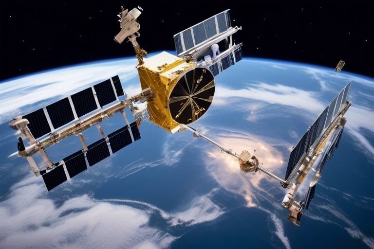
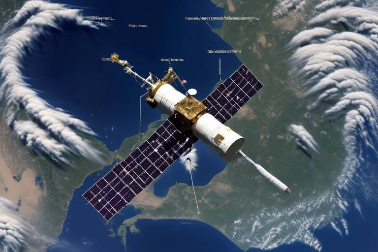
In today's fast-paced military operations, the role of satellites has become increasingly vital, especially when it comes to enhancing logistics in combat zones. Imagine a battlefield where every second counts, and the ability to communicate, navigate, and gather intelligence can mean the difference between success and failure. Satellites serve as the backbone of military logistics, providing essential capabilities that streamline operations and ensure that troops are always equipped and ready to face challenges head-on. From facilitating clear communication to enabling precise navigation, the impact of satellite technology on logistics is profound and multifaceted.
One of the most significant contributions of satellites to military logistics is their ability to provide robust communication networks. In combat zones, where traditional communication methods may falter due to interference or destruction, satellites offer a reliable alternative. This technology enables real-time updates and decision-making among military units, which is crucial for mission success. Imagine being able to relay critical information instantly to your team, ensuring that everyone is on the same page and ready to act. This level of coordination not only enhances operational efficiency but also fosters a sense of unity among troops, which is essential in high-pressure situations.
When it comes to navigating the often chaotic and unpredictable environments of combat zones, satellite navigation systems like GPS are invaluable. These systems allow military forces to determine precise locations, which is essential for efficient route planning and resource allocation. Think of it as having a detailed map that updates in real-time, guiding soldiers through unfamiliar terrain and ensuring they reach their destinations safely. With accurate positioning, military planners can analyze various factors such as terrain and traffic conditions, leading to optimized supply routes that guarantee timely delivery of essential resources to troops in the field.
Using satellite data, military logistics teams can assess the best possible routes for transporting supplies. This capability is especially critical in combat zones where conditions can change rapidly. By analyzing factors like road conditions, weather patterns, and enemy movements, planners can make informed decisions about the safest and most efficient paths for their convoys. This not only saves time but also minimizes risks, ensuring that vital supplies reach their destinations without unnecessary delays.
One of the most remarkable features of satellite technology is its ability to support dynamic rerouting. Imagine a scenario where an enemy ambushes a supply route. With real-time intelligence provided by satellites, logistics teams can quickly adjust their plans, rerouting supplies to alternative paths that are safer and more strategic. This agility is crucial in combat situations, where the ability to adapt on the fly can prevent losses and maintain the flow of resources to frontline troops.
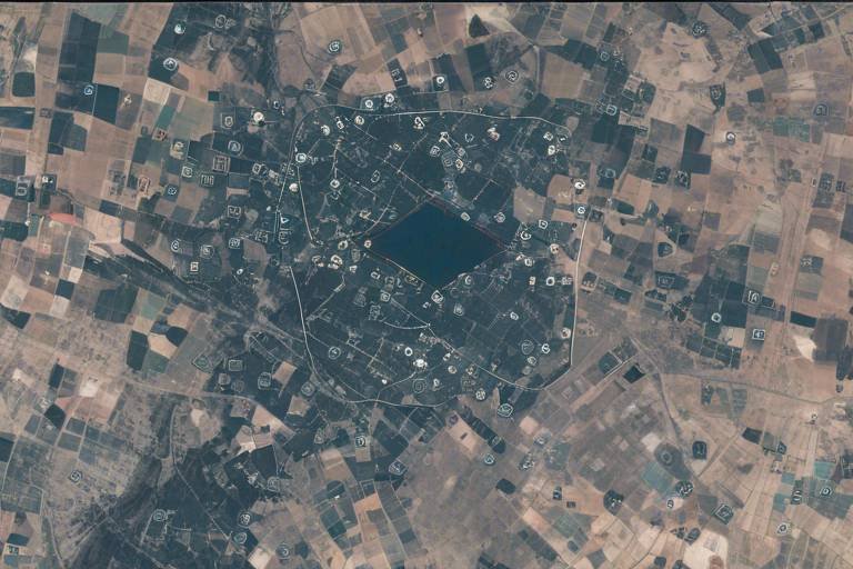
Geospatial data from satellites plays a critical role in understanding the operational landscape. Commanders can use this information to anticipate logistical challenges and plan accordingly. For instance, if satellite imagery reveals a newly established enemy position blocking a key supply route, military leaders can devise alternative strategies to circumvent the threat. This proactive approach to logistics not only enhances operational effectiveness but also helps in minimizing risks to personnel and equipment.
Effective supply chain management is another area where satellites shine. By providing visibility into inventory levels and movement, satellite technology ensures that troops have the necessary supplies when and where they need them. Imagine the chaos that could ensue if a unit runs out of ammunition or medical supplies in the heat of battle. With satellite-enabled tracking systems, military logistics can monitor stock levels in real-time, allowing for timely resupply missions and preventing critical shortages.
Beyond logistics, satellite imagery and reconnaissance capabilities allow military forces to monitor enemy movements and assess battlefield conditions. This information is invaluable for making informed logistical decisions and improving overall situational awareness. By analyzing satellite data, military strategists can identify potential threats to supply lines, enabling proactive measures to safeguard logistics operations in combat zones. This kind of foresight is essential for maintaining the integrity of supply chains and ensuring that troops receive the support they need.
In combat zones, understanding the enemy's capabilities and movements is crucial. By leveraging satellite surveillance, military leaders can conduct comprehensive threat assessments, identifying vulnerabilities in their supply chains. This allows them to implement measures that protect vital logistics operations from potential disruptions, ensuring that troops remain well-equipped and prepared for any situation.
Satellite surveillance also plays a significant role in effective resource allocation. By identifying areas of high demand, military planners can direct supplies accordingly, optimizing support for frontline operations. This targeted approach ensures that resources are utilized efficiently, maximizing their impact on mission success. For instance, if satellite imagery reveals a sudden increase in troop activity in a particular area, logistics teams can prioritize resupplying that location, ensuring that soldiers have the necessary provisions to sustain their operations.
The integration of satellite technology fosters enhanced coordination among different military units. This synchronization is crucial for ensuring that logistics operations run smoothly and efficiently. When multiple units work together seamlessly, it leads to improved mission outcomes and a greater chance of success in combat. By utilizing satellite communication and navigation systems, military forces can maintain a cohesive approach to logistics, ultimately enhancing their overall operational effectiveness.
- How do satellites improve communication in combat zones?
Satellites provide robust communication networks that enable real-time updates and coordination among military units, ensuring effective decision-making. - What role does GPS play in military logistics?
GPS technology allows military forces to determine precise locations, facilitating efficient route planning and resource allocation in challenging environments. - Can satellites help with threat assessment?
Yes, satellite surveillance allows military strategists to identify potential threats to supply lines, enabling proactive measures to protect logistics operations. - How does satellite technology enhance supply chain management?
Satellites provide visibility into inventory levels and movement, ensuring that troops receive necessary supplies when and where they need them.
Enhanced Communication Systems
In the fast-paced world of military operations, effective communication is not just a luxury; it's a lifeline. Satellites play a pivotal role in establishing robust communication networks that are essential for coordinating logistics in combat zones. Imagine a scenario where troops are on the ground, facing unpredictable challenges, and they need to relay real-time updates to their command center. Without satellite communication, this would be akin to navigating a ship without a compass in a stormy sea.
With satellite technology, military units can share vital information instantly, which is crucial for making informed decisions. This capability allows for seamless communication across vast distances, enabling units to coordinate their efforts effectively. For instance, if a supply convoy encounters unexpected obstacles, they can quickly communicate their situation to commanders, who can then make rapid decisions to ensure the mission's success.
Moreover, satellites facilitate the use of advanced communication systems that support various forms of data transmission. From voice calls to video conferencing and data sharing, these systems ensure that every piece of information is conveyed accurately and swiftly. This is especially important in combat zones where every second counts. The ability to communicate in real-time means that military planners can adjust strategies on the fly, adapting to the ever-changing dynamics of the battlefield.
To illustrate the importance of satellite communication in logistics, consider the following key benefits:
- Real-Time Updates: Troops can receive immediate information about supply availability, enemy movements, and changing mission parameters.
- Enhanced Decision-Making: Commanders can make informed choices based on up-to-the-minute data, reducing the risk of errors.
- Increased Safety: By maintaining constant communication, units can coordinate movements and avoid potential threats more effectively.
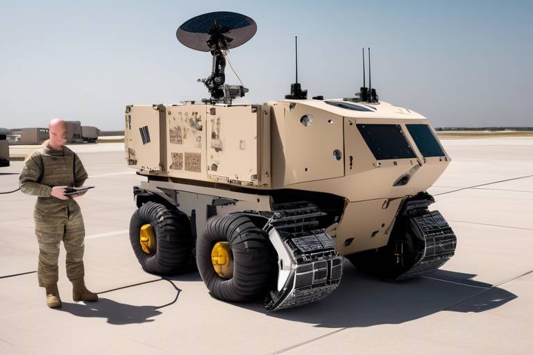
Furthermore, the integration of satellite communication systems with other technologies, such as drones and ground vehicles, creates a comprehensive network that enhances operational efficiency. For example, drones equipped with satellite links can provide real-time aerial surveillance, allowing ground troops to receive updates about the terrain and enemy positions without delay. This synergy between different technologies creates a powerful logistical framework that can adapt to the complexities of combat zones.
In conclusion, the enhanced communication systems enabled by satellites are indispensable for military logistics in combat zones. They not only provide a means of communication but also empower military units to operate with greater efficiency, coordination, and safety. As technology continues to evolve, the role of satellites in military logistics will undoubtedly expand, further revolutionizing how operations are conducted in high-stakes environments.
Accurate Navigation and Positioning
In the chaos of combat zones, can be the difference between mission success and failure. Military forces rely heavily on satellite navigation systems, such as GPS, to pinpoint their exact locations. This precision is crucial, especially in environments where traditional maps may be outdated or unreliable. Imagine trying to navigate a dense forest or an urban battlefield without the ability to know exactly where you are; it would be like trying to find a needle in a haystack! With satellite technology, soldiers can confidently traverse these challenging terrains.
Moreover, the capability to determine precise locations allows for efficient route planning and resource allocation. For instance, when planning a supply mission, military planners can analyze various factors, including terrain, weather conditions, and potential obstacles, all thanks to satellite data. This information helps them choose the best routes, ensuring that essential supplies reach the troops on time. Without such technology, logistics would become a daunting task, fraught with delays and uncertainties.
Utilizing satellite data, military planners can effectively optimize supply routes. This process involves analyzing the terrain and current traffic conditions, which can significantly affect delivery times. With real-time updates, commanders can make informed decisions about which routes to take, avoiding areas that may be under enemy observation or prone to ambushes. The ability to visualize these factors on a map, thanks to satellite imagery, transforms logistics planning from a guessing game into a precise science.
One of the most impressive features of satellite navigation is its ability to facilitate dynamic rerouting. Imagine a scenario where enemy activity suddenly spikes in a designated supply route. With satellite technology, logistics officers can quickly analyze the situation and reroute supplies to ensure that they reach their destination safely. This real-time intelligence allows military operations to remain flexible and responsive, adapting to the ever-changing dynamics of combat zones.
Furthermore, satellite systems provide valuable geospatial data that enhances our understanding of the operational landscape. This data helps commanders anticipate potential logistical challenges by visualizing the battlefield in a comprehensive manner. For example, if a commander knows that a particular area is prone to flooding, they can plan accordingly, perhaps stockpiling supplies in a safer location. Such foresight is invaluable in maintaining operational efficiency and ensuring that troops are well-supported.
In summary, the integration of satellite technology into military logistics has revolutionized . It not only enhances route planning and resource allocation but also allows for dynamic adjustments and geospatial analysis. This technology ultimately leads to better operational outcomes and, most importantly, keeps our troops safe and supplied in the field.
- How does GPS work in combat zones? GPS relies on a network of satellites that send signals to receivers on the ground, allowing military forces to determine their exact location.
- What are the benefits of satellite navigation for logistics? Satellite navigation provides precise location data, enabling efficient route planning and real-time adjustments to supply chains.
- Can satellite technology be affected by weather conditions? While weather can impact satellite signals, modern systems are designed to minimize disruptions and maintain accuracy.
Route Optimization
In the chaotic environment of combat zones, becomes a game-changer for military logistics. Imagine you’re a supply officer tasked with delivering crucial supplies to troops stationed in a rugged area. Without the right information, you could waste precious time and resources navigating treacherous terrain. This is where satellite technology steps in, transforming the way military planners approach logistics.
Utilizing satellite data, military strategists can analyze various factors that impact route efficiency. For instance, they can assess terrain elevation, weather conditions, and even enemy movements to identify the safest and fastest routes. The result? Supplies reach their destinations on time, and troops are better equipped to carry out their missions.
One of the key advantages of satellite-assisted route optimization is the ability to create a dynamic logistical framework. This means that planners can adjust routes in real-time based on changing conditions. For example, if intelligence reports indicate that a particular road is under enemy surveillance, the logistics team can quickly reroute supplies through a safer path. This flexibility not only enhances the safety of supply convoys but also ensures that the frontline troops receive their necessary resources without delay.
To illustrate how this works, consider the following table that outlines different factors analyzed for route optimization:
| Factor | Description | Impact on Route |
|---|---|---|
| Terrain | Elevation, obstacles, and surface conditions | Affects travel speed and safety |
| Weather | Rain, snow, fog | Impacts visibility and road conditions |
| Enemy Activity | Known positions and movements | Informs safe routing decisions |
This strategic approach to logistics doesn't just save time; it can also save lives. By ensuring that supplies are delivered efficiently and safely, military operations can maintain momentum, which is critical in combat scenarios. Moreover, the ability to optimize routes based on real-time data fosters a sense of adaptability and preparedness among military units, which is essential for success in unpredictable environments.
In conclusion, route optimization through satellite technology is not merely a logistical enhancement; it is a vital component of modern military strategy. By leveraging these advanced systems, military planners can ensure that troops remain well-supplied, ready, and capable of responding to any challenge that arises in the field.
- How does satellite technology improve military logistics? Satellite technology enhances communication, navigation, and surveillance, enabling real-time decision-making and efficient resource allocation.
- What are the benefits of route optimization in combat zones? Route optimization ensures timely delivery of supplies, enhances safety for convoys, and allows for dynamic adjustments based on changing conditions.
- Can satellite data be used for other military operations? Yes, satellite data is also used for reconnaissance, threat assessment, and overall situational awareness in various military operations.
Dynamic Rerouting
In the fast-paced world of military logistics, is a game-changer. Imagine a situation where your supply convoy is headed straight into a hostile area, or perhaps a natural obstacle suddenly blocks the road. What do you do? This is where the power of satellite technology comes into play. With real-time data at their fingertips, military planners can swiftly adjust supply routes, ensuring that resources reach the troops without unnecessary delays or risks.
Utilizing satellite imagery and advanced algorithms, commanders can assess the current battlefield conditions and make informed decisions on the fly. This capability is akin to playing a high-stakes game of chess, where every move counts, and the ability to adapt is crucial. For instance, if enemy activity is detected in one area, rerouting supply convoys to safer paths can mean the difference between mission success and failure.
Moreover, the integration of satellite data allows for a more comprehensive understanding of the operational environment. Commanders can visualize not only the terrain but also the locations of friendly and enemy forces. This geospatial awareness enables them to anticipate logistical challenges before they arise, making dynamic rerouting not just a reactive measure but a proactive strategy.
To illustrate the impact of dynamic rerouting, consider the following table that outlines the key benefits:
| Benefit | Description |
|---|---|
| Increased Safety | Reduces the risk of ambush by avoiding known enemy positions. |
| Timely Deliveries | Ensures that critical supplies reach troops when they are most needed. |
| Resource Efficiency | Optimizes fuel and manpower by selecting the most efficient routes. |
| Enhanced Flexibility | Allows for quick adjustments based on changing battlefield dynamics. |
In conclusion, dynamic rerouting facilitated by satellite technology is a vital component of modern military logistics. It not only enhances the safety and efficiency of supply operations but also empowers commanders to make strategic decisions that can significantly impact the outcome of missions. As military operations continue to evolve, the reliance on such innovative solutions will only grow, ensuring that troops on the ground are supported in the best possible way.
- What is dynamic rerouting?
Dynamic rerouting refers to the ability to change supply routes in real-time based on current battlefield conditions, utilizing satellite data to ensure safety and efficiency. - How does satellite technology aid in military logistics?
Satellite technology provides real-time communication, navigation, and surveillance capabilities, which are essential for effective logistics planning and execution in combat zones. - Why is geospatial awareness important in military operations?
Geospatial awareness allows commanders to visualize the operational landscape, anticipate challenges, and make informed decisions that enhance mission success.
Geospatial Analysis
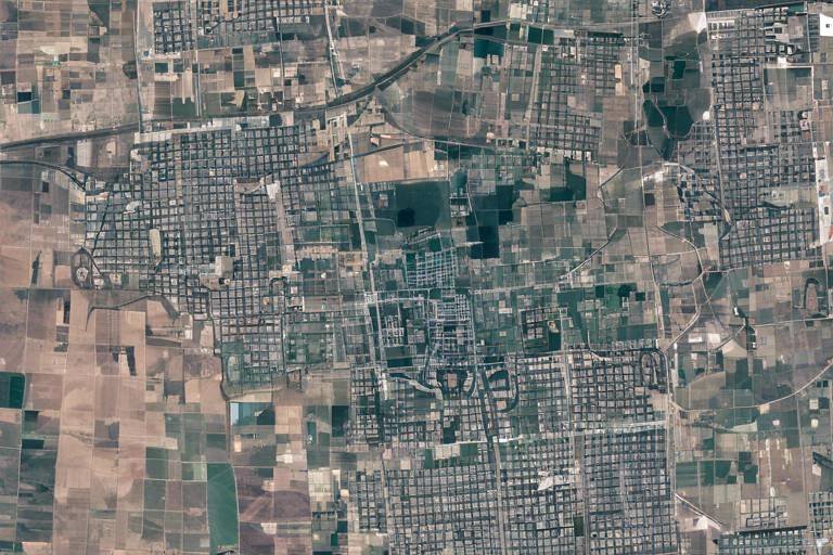
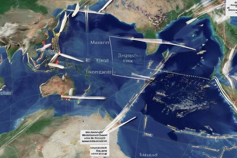
In the chaotic environment of combat zones, understanding the landscape is not just an advantage; it's a necessity. harnesses satellite data to provide military commanders with a comprehensive view of the operational theater. This analysis involves the collection and interpretation of geographic data, enabling forces to visualize terrain features, identify potential obstacles, and assess the strategic value of various locations. Imagine trying to navigate a dense forest without a map; that’s what military operations would be like without geospatial analysis.
By utilizing advanced satellite imagery, military planners can create detailed maps that highlight critical elements such as:
- Topography
- Road networks
- Water sources
- Enemy positions
These elements are crucial for effective mission planning. For instance, understanding the elevation of the terrain can significantly impact artillery targeting and troop movements. Additionally, by analyzing satellite data, commanders can anticipate logistical challenges that may arise from natural barriers or urban environments. This foresight allows them to devise contingency plans that ensure resources are delivered efficiently, even in the face of unexpected obstacles.
Moreover, geospatial analysis is not a one-time task; it’s an ongoing process. As the battlefield evolves, so too must the strategies employed by military leaders. With real-time satellite feeds, commanders can monitor changes in the environment, such as shifting enemy positions or the emergence of new threats. This dynamic approach to geospatial analysis means that decisions are based on the most current information available, leading to more effective logistical operations.
Ultimately, the integration of geospatial analysis into military logistics enhances situational awareness and operational efficiency. It empowers commanders to make informed decisions, reduce risks, and allocate resources more effectively, ensuring that troops receive the support they need when they need it most. In the high-stakes world of combat logistics, having a clear picture of the battlefield can mean the difference between success and failure.
- What is geospatial analysis? Geospatial analysis is the process of gathering and interpreting geographic data to understand and visualize the operational environment, particularly in military contexts.
- How do satellites contribute to geospatial analysis? Satellites provide high-resolution imagery and real-time data that help military planners assess terrain, enemy positions, and logistical routes.
- Why is geospatial analysis important in combat logistics? It allows for informed decision-making, efficient resource allocation, and the anticipation of logistical challenges in dynamic combat environments.
Supply Chain Management
In the fast-paced and unpredictable environment of combat zones, effective supply chain management is not just a luxury; it’s a necessity. Satellites play a pivotal role in ensuring that military forces have the supplies they need, right when they need them. Imagine a world where every bullet, meal, and piece of equipment is delivered precisely when required. This is the power of satellite technology in action. By providing real-time data on inventory levels and tracking the movement of supplies, satellites help maintain a seamless flow of resources to troops in the field.
One of the key benefits of satellite-enhanced supply chain management is the ability to achieve visibility across the entire logistics network. With satellite communication, commanders can monitor the status of supplies at various points, ensuring that nothing goes unnoticed. This visibility allows military planners to make informed decisions about resource allocation, minimizing wastage and ensuring that every soldier has what they need to perform their duties effectively.
Moreover, satellite technology enables the integration of various logistics systems into a cohesive unit. This means that different military branches can share information about supply levels, transportation needs, and operational priorities. By utilizing a centralized data platform, military units can coordinate their efforts more efficiently, reducing delays and enhancing overall mission success. For instance, if a particular battalion is running low on ammunition, the satellite system can alert logistics personnel to reroute supplies from a nearby facility, ensuring that the frontline remains well-equipped.
To illustrate how satellite technology revolutionizes supply chain management, consider the following table that outlines the key components:
| Component | Description | Benefits |
|---|---|---|
| Real-time Tracking | Continuous monitoring of supply movement | Ensures timely delivery and reduces shortages |
| Inventory Management | Tracking of stock levels and needs | Prevents overstocking and shortages |
| Data Integration | Combining information from various units | Enhances coordination and efficiency |
In addition to these components, the dynamic nature of combat operations requires a flexible supply chain. Satellites facilitate this flexibility by enabling commanders to adjust supply routes and priorities in response to real-time battlefield conditions. For example, if an area becomes too dangerous for supply convoys, satellite data can help identify alternative routes that are safer, thus ensuring that troops continue to receive essential supplies without interruption.
Ultimately, the integration of satellite technology into supply chain management not only improves efficiency but also enhances the overall effectiveness of military operations. By ensuring that resources are available when and where they are needed, satellites help maintain the operational readiness of military forces, allowing them to focus on their primary mission: achieving victory on the battlefield.
- How do satellites improve communication in combat zones?
Satellites provide robust communication networks that enable real-time updates, facilitating coordination among military units. - What is the role of GPS in military logistics?
GPS allows military forces to determine precise locations, aiding in efficient route planning and resource allocation. - Can satellites help in rerouting supplies during combat?
Yes, satellites enable dynamic rerouting based on real-time intelligence, allowing for quick adjustments to supply chains. - How does satellite surveillance contribute to supply chain management?
Satellite surveillance helps identify areas of high demand and directs supplies accordingly, optimizing support for frontline operations.
Surveillance and Reconnaissance
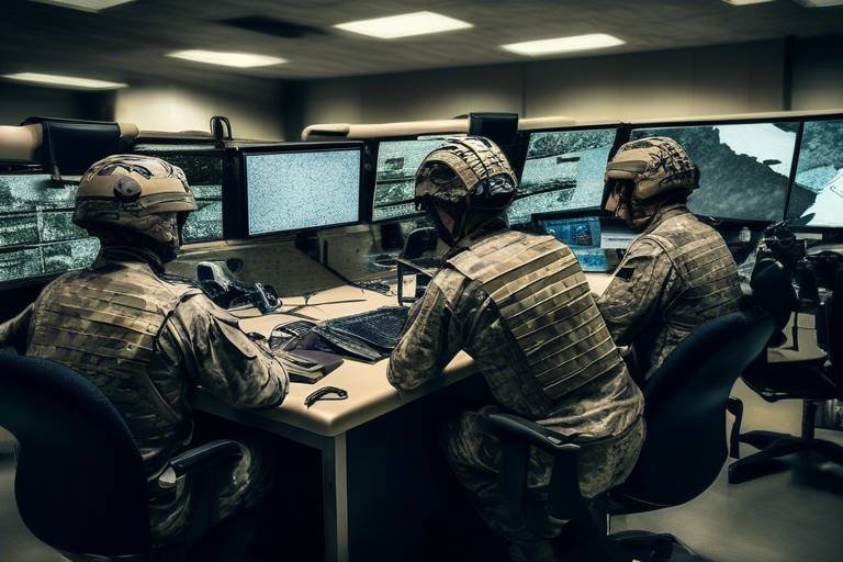
In the high-stakes environment of combat zones, play a pivotal role in shaping military operations. The integration of satellite technology has revolutionized the way military forces gather intelligence, enabling them to maintain a strategic edge over adversaries. By utilizing satellite imagery and advanced reconnaissance capabilities, commanders can monitor enemy movements, assess battlefield conditions, and make informed logistical decisions that enhance overall situational awareness.
Imagine being able to see the battlefield from above, like having a bird's-eye view of the entire operation. This perspective not only reveals the enemy's positioning but also provides insights into the terrain and environmental factors that could impact logistics. With this information at their fingertips, military strategists can craft plans that are both proactive and reactive, adapting to the fluid dynamics of combat.
One of the key advantages of satellite surveillance is its ability to conduct real-time threat assessments. By analyzing satellite data, military planners can pinpoint potential threats to supply lines, whether they stem from enemy ambushes or natural obstacles. This foresight allows for the implementation of proactive measures, such as rerouting supplies or increasing security for vulnerable transport routes. The ability to anticipate challenges before they arise is invaluable in ensuring the smooth flow of resources to frontline troops.
Moreover, satellite surveillance aids in effective resource allocation. By identifying areas of high demand or critical shortages, military leaders can direct supplies where they are needed most. This ensures that troops have access to essential resources, whether it's ammunition, food, or medical supplies. The efficiency gained from this targeted approach not only boosts morale among soldiers but also enhances operational effectiveness on the ground.
To illustrate the impact of satellite surveillance on military logistics, consider the following table that compares traditional reconnaissance methods with satellite capabilities:
| Aspect | Traditional Reconnaissance | Satellite Surveillance |
|---|---|---|
| Coverage Area | Narrow, limited to line of sight | Extensive, global coverage |
| Data Collection Speed | Slow, dependent on ground units | Rapid, near real-time data |
| Risk to Personnel | High, exposes troops to danger | Low, remote data collection |
| Analysis Capability | Manual, time-consuming | Automated, advanced algorithms |
This comparison clearly highlights how satellite surveillance not only enhances the efficiency of military logistics but also significantly reduces risks to personnel. With the ability to gather and analyze data from a safe distance, military leaders can focus on strategic planning rather than worrying about the safety of their reconnaissance teams.
In conclusion, the role of satellites in surveillance and reconnaissance cannot be overstated. As military operations become increasingly complex and dynamic, the need for accurate, timely information is more critical than ever. By leveraging satellite technology, military forces can ensure that they remain one step ahead of adversaries, ultimately leading to more successful missions and better outcomes for troops on the ground.
- How do satellites improve communication in combat zones? Satellites provide robust networks that enable real-time updates and coordination among military units, which is crucial for mission success.
- What role does GPS play in military logistics? GPS allows military forces to determine precise locations, facilitating efficient route planning and resource allocation during operations.
- How does satellite surveillance enhance situational awareness? Satellite imagery allows for monitoring of enemy movements and battlefield conditions, informing logistical decisions and improving overall awareness.
- Can satellite data help in threat assessment? Yes, analyzing satellite data enables military strategists to identify potential threats to supply lines, allowing for proactive measures to safeguard logistics operations.
Threat Assessment
In the chaotic environment of combat zones, becomes a crucial component of military logistics. Imagine trying to navigate a maze while blindfolded; that’s what it feels like for military strategists without accurate information about enemy movements and potential threats. Thankfully, satellites provide a **bird's-eye view** of the battlefield, enabling commanders to gather essential intelligence that informs their logistical decisions.
By leveraging satellite data, military planners can effectively analyze patterns of enemy behavior and predict possible threats to supply lines. This proactive approach is akin to having a weather forecast before a storm; it allows for the anticipation of challenges that could disrupt operations. For instance, if satellite imagery reveals a buildup of enemy forces near a supply route, logistics teams can swiftly adjust their plans to avoid potential ambushes.
Moreover, the integration of advanced algorithms and artificial intelligence with satellite data enhances the accuracy of threat assessments. These technologies can process vast amounts of information, identifying anomalies that might indicate hostile activity. This capability not only improves the safety of supply routes but also ensures that resources are allocated efficiently. For example, if a particular area is flagged as high-risk, supplies can be rerouted to safer locations, ensuring that troops receive the necessary support without unnecessary delays.
To illustrate the importance of threat assessment, consider the following table that outlines the key components of satellite-based threat analysis:
| Component | Description | Impact on Logistics |
|---|---|---|
| Real-Time Monitoring | Continuous surveillance of enemy movements | Enables timely adjustments to supply routes |
| Data Analysis | Utilization of AI to predict potential threats | Enhances decision-making and resource allocation |
| Geospatial Intelligence | Mapping terrain and enemy positions | Facilitates strategic planning of logistics operations |
In conclusion, effective threat assessment powered by satellite technology is not just about gathering data; it's about transforming that data into actionable intelligence. By understanding the battlefield landscape and potential threats, military forces can safeguard their logistics operations, ensuring that supplies reach the troops who need them most. This not only enhances operational efficiency but also significantly increases the chances of mission success.
- How do satellites help in military logistics? Satellites enhance communication, navigation, and surveillance, providing real-time data that improves decision-making and operational efficiency.
- What role does threat assessment play in logistics? Threat assessment identifies potential risks to supply lines, allowing for proactive adjustments to logistics plans to ensure safety and efficiency.
- Can satellite data be integrated with other technologies? Yes, satellite data can be combined with AI and machine learning for more accurate and timely threat assessments.
- How does geospatial intelligence aid military operations? Geospatial intelligence provides a comprehensive understanding of the battlefield, helping commanders anticipate logistical challenges and plan accordingly.
Resource Allocation
In the fast-paced and unpredictable environment of combat zones, effective is crucial for maintaining operational efficiency. Satellites play a pivotal role in this process by providing real-time data that informs military strategists about where resources are most needed. Imagine trying to navigate a maze blindfolded; without the right tools, you're bound to get lost. Satellites act as the guiding light in this complex landscape, illuminating the path for military operations.
Through advanced satellite surveillance systems, military commanders can gain insights into various factors that influence resource distribution. For instance, satellite imagery can reveal the current status of supply routes, identify areas experiencing shortages, and highlight regions where enemy activity may threaten logistics. This information allows for a more strategic approach to , ensuring that supplies are directed to the right place at the right time.
Moreover, the ability to monitor troop movements and assess battlefield conditions in real-time enhances decision-making capabilities. When commanders have access to up-to-date information, they can make informed choices about where to send reinforcements or supplies. This dynamic allocation of resources is akin to playing a game of chess, where each move must be calculated and purposeful. The stakes are high, and the right decisions can mean the difference between success and failure.
One of the key advantages of satellite technology is its capacity to provide a comprehensive overview of the operational landscape. By analyzing data from multiple satellite sources, military planners can create a detailed picture of the battlefield, allowing them to identify:
- Areas of high demand for supplies
- Potential bottlenecks in supply chains
- Locations of enemy forces that may disrupt logistics
This holistic view enables military units to prioritize their resources effectively, ensuring that frontline troops receive the necessary support without delay. In addition, the integration of satellite data with other logistics systems creates a seamless flow of information, further enhancing the efficiency of resource allocation.
In conclusion, the role of satellites in cannot be overstated. By providing vital insights and real-time data, satellites empower military leaders to make strategic decisions that optimize supply distribution. This not only enhances the effectiveness of operations but also ensures that troops are well-equipped to face the challenges of combat zones. With the stakes so high, having a reliable navigation system is not just an advantage; it’s a necessity.
Q: How do satellites improve resource allocation in combat zones?
A: Satellites provide real-time data and imagery that help military strategists identify areas of high demand, monitor supply routes, and assess battlefield conditions, enabling more effective resource distribution.
Q: What types of data do satellites provide for logistics operations?
A: Satellites offer various types of data, including satellite imagery, terrain analysis, troop movement tracking, and real-time updates on supply levels and demands.
Q: Can satellite data be integrated with other logistics systems?
A: Yes, satellite data can be integrated with other logistics systems to create a comprehensive overview of operations, enhancing decision-making and resource allocation efficiency.
Improved Coordination Among Units
This article explores the vital role satellites play in enhancing logistics for military operations in combat zones, focusing on communication, navigation, surveillance, and overall operational efficiency.
Satellites provide robust communication networks essential for coordinating logistics in combat zones, enabling real-time updates and decision-making among military units, which is crucial for mission success.
Satellite navigation systems, such as GPS, allow military forces to determine precise locations, facilitating efficient route planning and resource allocation during operations in challenging environments.
Using satellite data, military planners can analyze terrain and traffic conditions to optimize supply routes, ensuring timely delivery of essential resources to troops in the field.
Satellites enable dynamic rerouting of logistics based on real-time intelligence, allowing for quick adjustments to supply chains in response to changing combat conditions.
Geospatial data from satellites aids in understanding the operational landscape, helping commanders anticipate logistical challenges and plan accordingly.
Satellites enhance supply chain management by providing visibility into inventory levels and movement, ensuring that troops have the necessary supplies when and where they need them.
Satellite imagery and reconnaissance capabilities allow military forces to monitor enemy movements and assess battlefield conditions, informing logistical decisions and improving overall situational awareness.
By analyzing satellite data, military strategists can identify potential threats to supply lines, enabling proactive measures to safeguard logistics operations in combat zones.
Satellite surveillance assists in effective resource allocation by identifying areas of high demand and directing supplies accordingly, optimizing support for frontline operations.
The integration of satellite technology fosters enhanced coordination among different military units, ensuring that logistics operations are synchronized and efficient, ultimately leading to mission success. Imagine a finely tuned orchestra where each musician plays in harmony, guided by a conductor. In the military context, satellites act as that conductor, orchestrating complex logistical operations across various units. By providing real-time data and communication capabilities, satellites allow units to share information instantly, which is critical when every second counts in a combat zone.
With the ability to track troop movements and supply deliveries, commanders can make informed decisions on the fly. For instance, if one unit encounters unexpected resistance, satellite data can quickly inform adjacent units, allowing them to adjust their strategies accordingly. This level of coordination is essential not just for immediate tactical advantages but also for long-term operational efficiency.
Furthermore, the use of satellite communication systems enables different branches of the military to work together seamlessly. Whether it's the Army, Navy, or Air Force, the ability to communicate and share data in real-time ensures that all units are on the same page. This kind of synergy is vital when planning joint operations or responding to crises.
To illustrate the impact of improved coordination, consider the following table that outlines the benefits of satellite integration in military logistics:
| Benefit | Description |
|---|---|
| Real-Time Communication | Facilitates immediate updates and decision-making among units. |
| Enhanced Situational Awareness | Allows commanders to see the battlefield in real-time, improving strategic planning. |
| Resource Optimization | Ensures that supplies are directed where they are most needed, enhancing efficiency. |
| Reduced Response Time | Enables faster adjustments to logistics in response to changing conditions. |
In summary, the improved coordination among military units facilitated by satellite technology not only enhances logistical operations but also significantly contributes to the overall success of missions in combat zones. The ability to communicate, share data, and adjust strategies in real-time is a game-changer, making military operations more effective and efficient than ever before.
- How do satellites enhance communication in combat zones?
Satellites provide robust communication networks that allow military units to share real-time updates and coordinate logistics effectively. - What role does GPS play in military logistics?
GPS enables precise navigation and positioning, which is crucial for efficient route planning and resource allocation in challenging environments. - How does satellite surveillance improve resource allocation?
Satellite surveillance helps identify areas of high demand, ensuring that supplies are directed where they are needed most. - Why is coordination among units important in military operations?
Effective coordination ensures that all units are synchronized, leading to more efficient logistics and increased chances of mission success.
Frequently Asked Questions
- How do satellites enhance communication in combat zones?
Satellites provide robust communication networks that are crucial for coordinating logistics in combat zones. They enable real-time updates and decision-making among military units, which is essential for mission success. This means that soldiers can stay connected, share vital information, and respond quickly to changing situations.
- What role does satellite navigation play in military logistics?
Satellite navigation systems, like GPS, allow military forces to pinpoint their exact locations. This precision is vital for efficient route planning and resource allocation, especially in challenging environments. Imagine trying to find your way in a dense forest—GPS acts like a reliable guide, ensuring troops can navigate safely and effectively.
- How can satellites optimize supply routes?
Using satellite data, military planners can analyze terrain and traffic conditions to optimize supply routes. This ensures that essential resources reach troops in the field on time. Think of it as using a map app that helps you avoid traffic jams and find the quickest way to your destination—it's all about efficiency!
- What is dynamic rerouting in logistics?
Dynamic rerouting refers to the ability to adjust supply routes in real-time based on current intelligence. Satellites provide the necessary data to make these quick adjustments, allowing logistics operations to adapt to changing combat conditions swiftly. It’s like having a backup plan that kicks in as soon as you encounter an obstacle on your journey.
- How do satellites assist in threat assessment?
By analyzing satellite data, military strategists can identify potential threats to supply lines. This proactive approach enables them to implement measures that safeguard logistics operations in combat zones, ensuring that resources are protected and can reach their destinations without interruption.
- In what ways do satellites improve resource allocation?
Satellite surveillance helps identify areas of high demand, allowing military forces to direct supplies accordingly. This optimization ensures that frontline operations receive the necessary support when they need it most, making sure that no soldier is left without the supplies they require.
- Why is coordination among units important in military logistics?
Enhanced coordination among different military units is crucial for synchronized and efficient logistics operations. With satellite technology, units can communicate effectively, leading to better planning and execution of missions. This teamwork is what ultimately leads to mission success, much like a well-rehearsed orchestra playing in perfect harmony.


